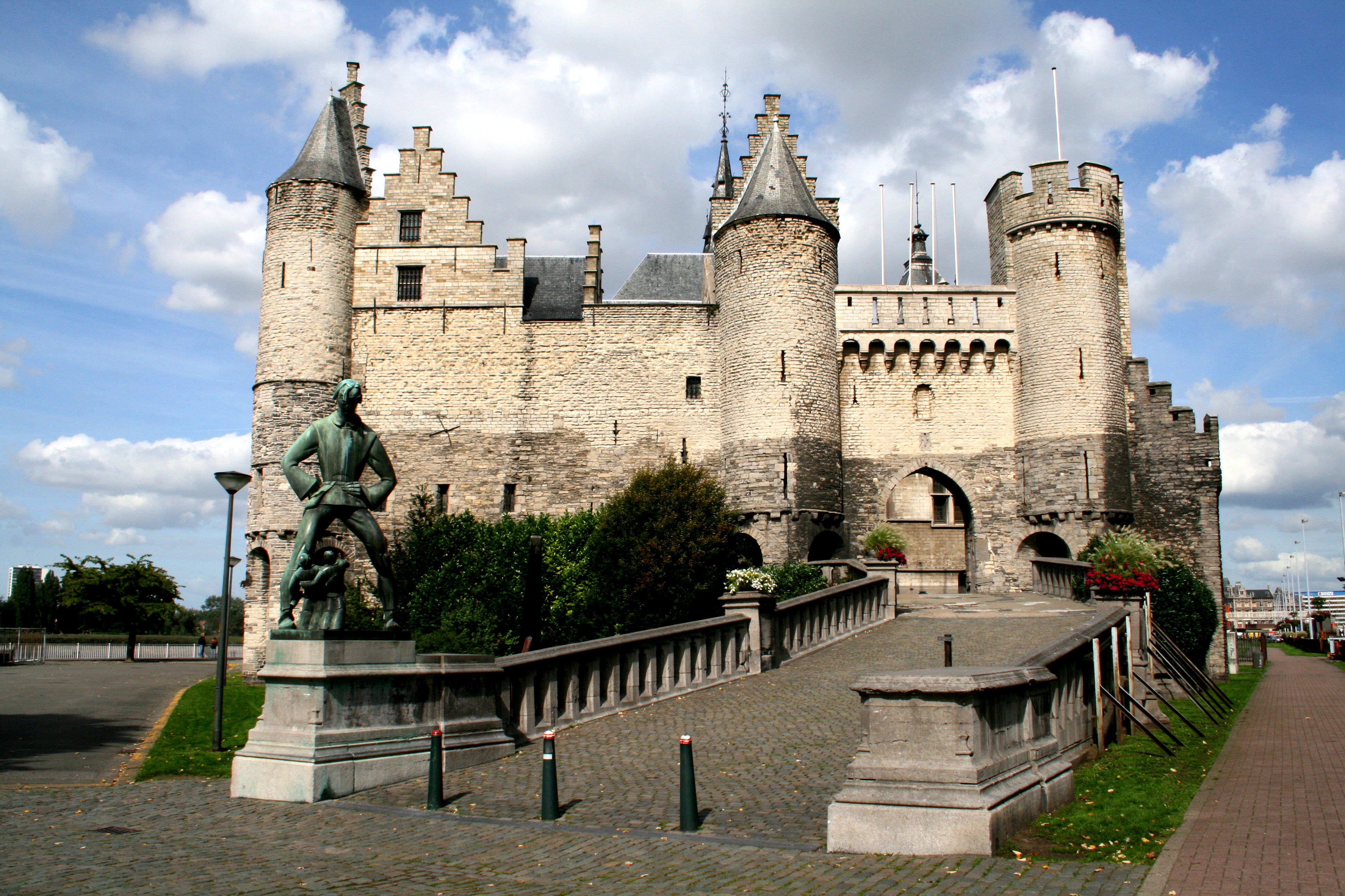
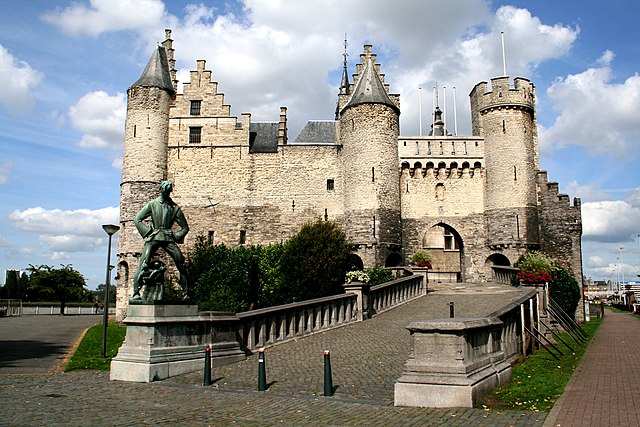
0_Het_Steen_-_Antwerpen_(1).JPG
Size of this preview:
800 × 533 pixels
.
Other resolutions:
320 × 213 pixels
|
640 × 427 pixels
|
1,024 × 683 pixels
|
1,280 × 853 pixels
|
2,560 × 1,707 pixels
|
3,888 × 2,592 pixels
.
Summary
| Description |
|
||
| Date | 5 September 2011 (upload date) | ||
| Source | Own work | ||
| Author | Jean-Pol GRANDMONT |
.JPG)
| Object location |
|
View this and other nearby images on: OpenStreetMap |
|
|---|
.JPG¶ms=051.221280_N_0004.397540_E_globe:Earth_class:object_region:BE-VLG_type:landmark_scale:1500_&language=en)

|
This image was uploaded as part of
Wiki Loves Monuments 2011
.
|

|
Licensing
I, the copyright holder of this work, hereby publish it under the following license:
This file is licensed under the
Creative Commons
Attribution-Share Alike 3.0 Unported
license.
-
You are free:
- to share – to copy, distribute and transmit the work
- to remix – to adapt the work
-
Under the following conditions:
- attribution – You must give appropriate credit, provide a link to the license, and indicate if changes were made. You may do so in any reasonable manner, but not in any way that suggests the licensor endorses you or your use.
- share alike – If you remix, transform, or build upon the material, you must distribute your contributions under the same or compatible license as the original.