1712_Basque_districts.png
Size of this preview:
800 × 581 pixels
.
Other resolutions:
320 × 232 pixels
|
640 × 465 pixels
|
1,056 × 767 pixels
.
Summary
| Description |
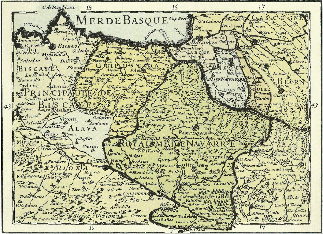
English:
The Basque Country in early 18th century, as depicted by Charles Hubert Alexis Jaillot, French royal geographer
|
| Date | |
| Source | Euskal Herria; Kartografian eta Testigantza Historikoetan |
| Author | Charles Hubert Alexis Jaillot |
Licensing
|
|
This work is in the public domain in its country of origin and other countries and areas where the copyright term is the author's life plus 100 years or fewer . |
| This file has been identified as being free of known restrictions under copyright law, including all related and neighboring rights. | |