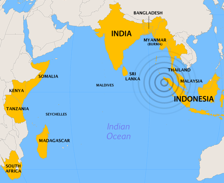
2004_Indian_Ocean_earthquake_-_affected_countries.png

Size of this preview:
732 × 599 pixels
.
Other resolutions:
293 × 240 pixels
|
586 × 480 pixels
.
Summary
| Description | |
| Date | |
| Source | Created by Cantus using ArcView and Photoshop . Orthographic projection , centered at lat. 0°, long. 80°A |
| Author | Ævar Arnfjörð Bjarmason |
Licensing

|
Permission is granted to copy, distribute and/or modify this document under the terms of the GNU Free Documentation License , Version 1.2 or any later version published by the Free Software Foundation ; with no Invariant Sections, no Front-Cover Texts, and no Back-Cover Texts. A copy of the license is included in the section entitled GNU Free Documentation License . |
|
|
This file is licensed under the Creative Commons Attribution-Share Alike 3.0 Unported license. | |
|
||
| This licensing tag was added to this file as part of the GFDL licensing update . |