Aerial_photograph_of_Kandahar_Province_in_2011.jpg
Size of this preview:
800 × 531 pixels
.
Other resolutions:
320 × 212 pixels
|
640 × 425 pixels
|
1,024 × 680 pixels
|
1,280 × 850 pixels
|
2,784 × 1,848 pixels
.
Summary
| Description |
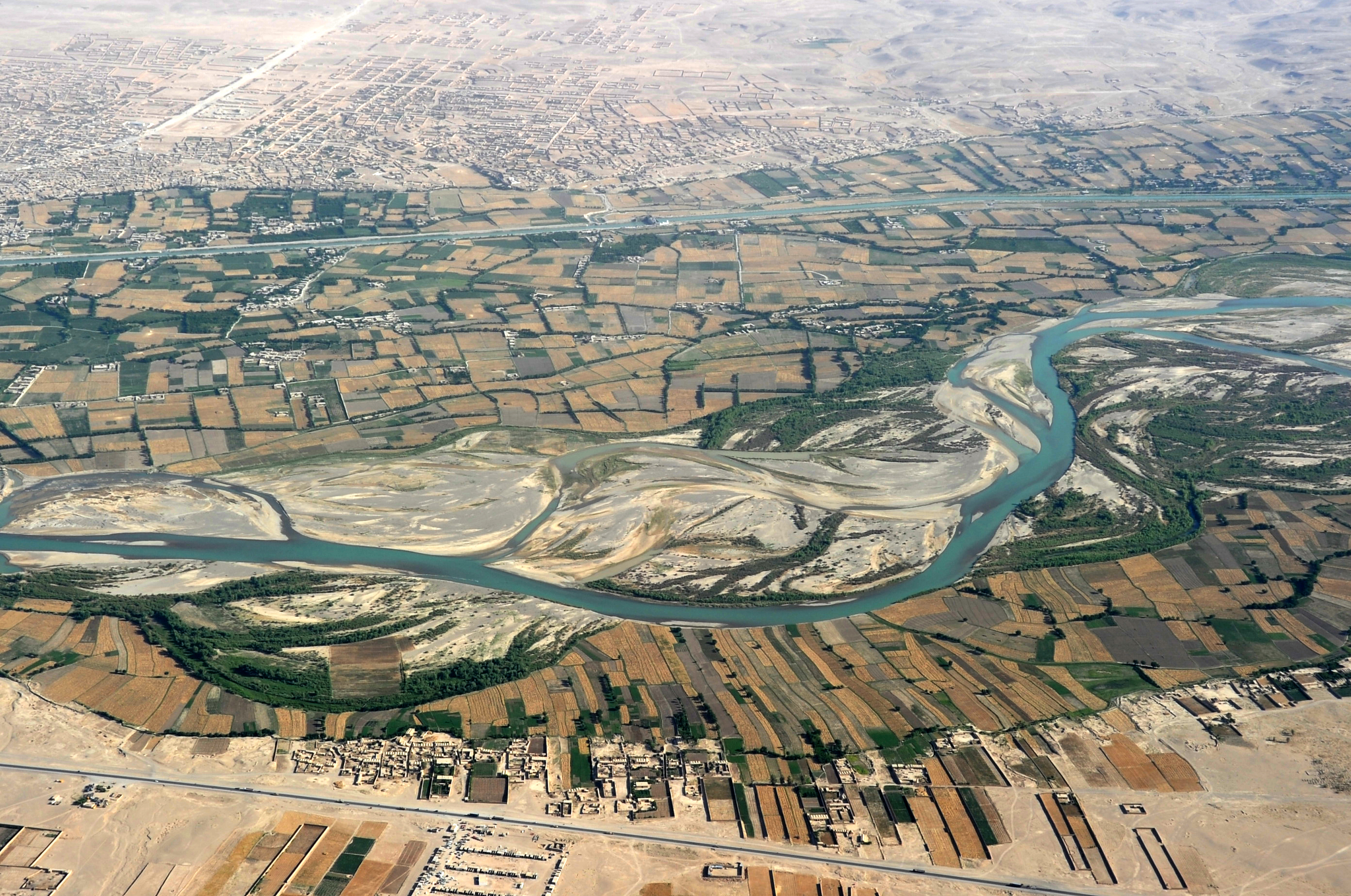
English:
Traveling by helicopter enables us to see the beauty of
Helmand River with the Boghra Irrigation Canal (Nahr-e Bughra) in the middle distance and the town of Gereshk (Grishk) in the far distance, Helmand Province. |
| Date | |
| Source | https://www.flickr.com/photos/usace-tas/8713418682/in/photostream/ |
| Author | Karla Marshall |
| Camera location |
|
View this and other nearby images on: OpenStreetMap |
|
|---|
Licensing
|
|
This image or file is a work of a
U.S. Army Corps of Engineers
soldier or employee, taken or made as part of that person's official duties. As a
work
of the
U.S. federal government
, the image is in the
public domain
.
|
|