Aerial_view_of_Nauru.jpg
Size of this preview:
800 × 587 pixels
.
Other resolutions:
320 × 235 pixels
|
640 × 469 pixels
|
1,024 × 751 pixels
|
1,280 × 938 pixels
|
1,600 × 1,173 pixels
.
Summary
| Description |
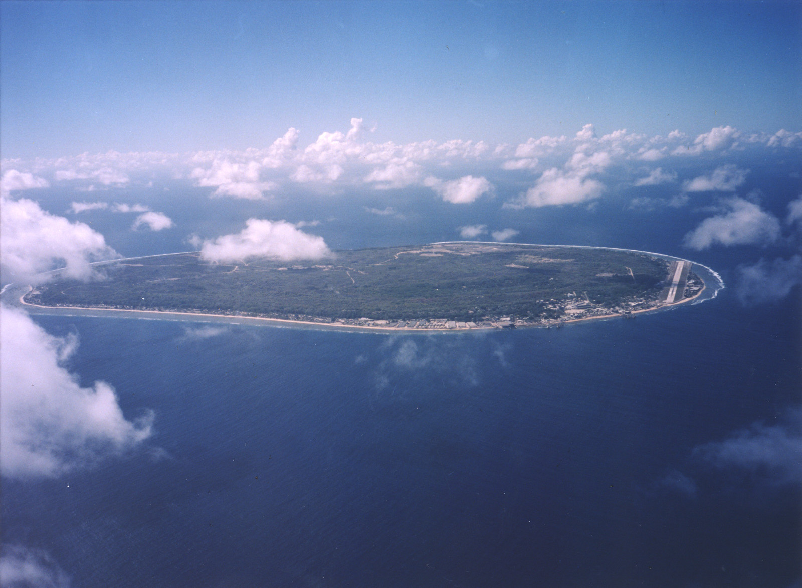
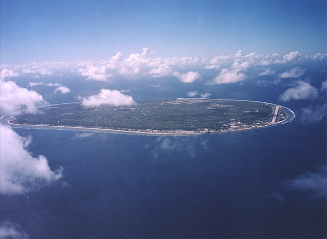
English:
A limestone karst on Nauru Island as a result of the over-mining of phosphate.
|
| Date | |
| Source | https://www.flickr.com/photos/armgov/4708951747/ |
| Author | U.S. Department of Energy's Atmospheric Radiation Measurement Program |
Licensing
|
|
This photograph was produced by the
Atmospheric Radiation Measurement
Program.
Their site states:
|
|