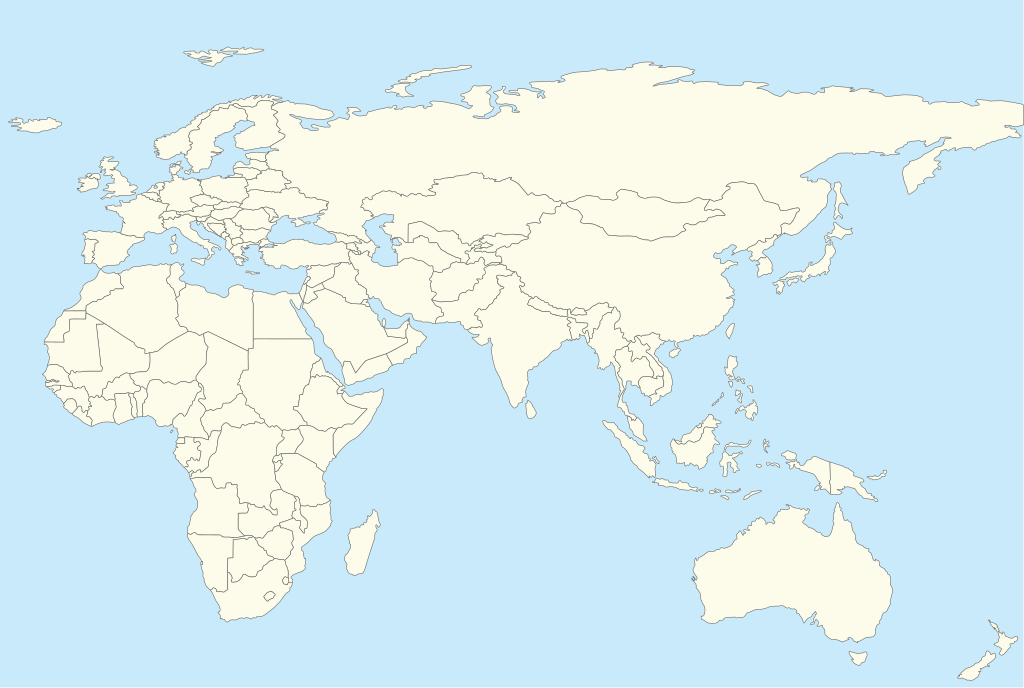
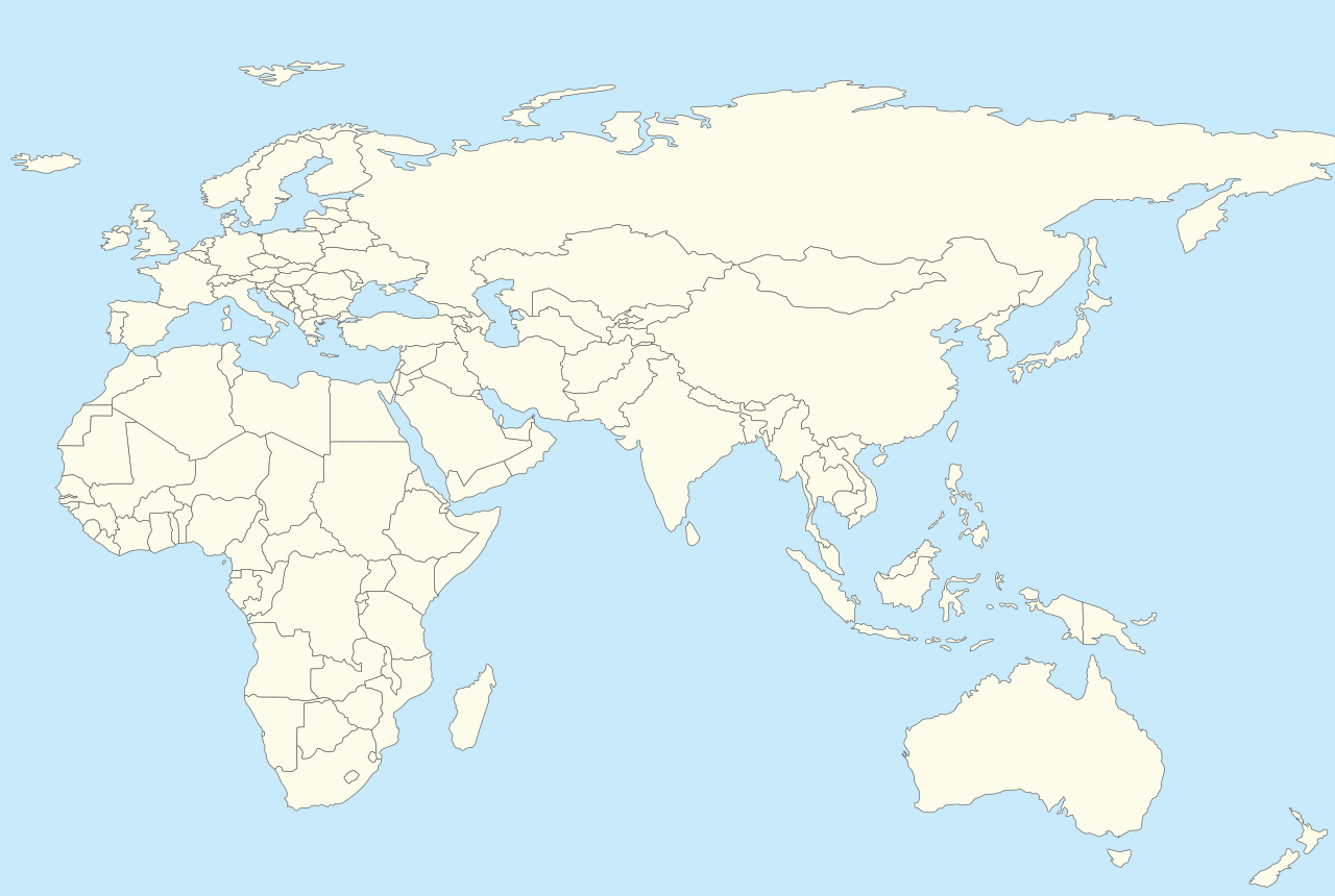
Afro-Eurasia_location_map_with_borders.svg

Size of this PNG preview of this SVG file:
457 × 307 pixels
.
Other resolutions:
320 × 215 pixels
|
640 × 430 pixels
|
1,024 × 688 pixels
|
1,280 × 860 pixels
|
2,560 × 1,720 pixels
.
| Description | Location map for Afro-Eurasia with national borders added |
| Date | (UTC) |
| Source | |
| Author |
|
|
|
This is a
retouched picture
, which means that it has been digitally altered from its original version. The original can be viewed here:
World location map.svg
:
|
I, the copyright holder of this work, hereby publish it under the following license:
|
|
I, the copyright holder of this work, release this work into the
public domain
. This applies worldwide.
In some countries this may not be legally possible; if so: I grant anyone the right to use this work for any purpose , without any conditions, unless such conditions are required by law. |
Original upload log
This image is a derivative work of the following images:
-
File:World_location_map.svg
licensed with PD-self
- 2010-04-18T18:53:02Z STyx 800x400 (599024 Bytes) {{Information |Description={{en|1=?}} |Source=? |Author=? |Date= |Permission= |other_versions= }} == {{int:filedesc}} == {{Information |Description={{en}}Blank world map for location map templates ([[:en:Equirectangular proje
Uploaded with derivativeFX