Agulhas_Bank_NOAA_ETOPO1.jpg
No higher resolution available.
Summary
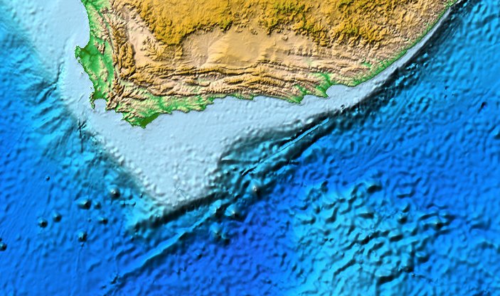
| Description | Map of the Agulhas Bank south of Africa. |
| Date | (UTC) |
| Source | NOAA DEM Discovery Portal |
| Author | Fama Clamosa ( talk ) 09:36, 5 January 2015 (UTC) |
|
Permission
( Reusing this file ) |
Public Domain |
Licensing
|
|
This image is in the
public domain
because it contains materials that originally came from the U.S.
National Oceanic and Atmospheric Administration
, taken or made as part of an employee's official duties.
|
|