Anatahan_aerial.jpg
No higher resolution available.
Summary
| Description |
Deutsch:
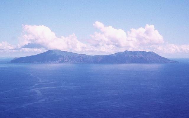
Luftaufnahme der Insel Anatahan in den Nördlichen Marianen
English:
Aerial view of Anatahan Island in the Northern Mariana Islands
|
| Date | |
| Source | http://www.volcano.si.edu/world/volcano.cfm?vnum=0804-20=&volpage=photos&photo=108082 |
| Author | U.S. Geological Survey |
Licensing
|
|
This image is in the
public domain
in the United States because it only contains materials that originally came from the
United States Geological Survey
, an agency of the
United States Department of the Interior
. For more information, see
the official USGS copyright policy
.
|
|