Anatolian_Metropolises_1880.svg

Size of this PNG preview of this SVG file:
800 × 453 pixels
.
Other resolutions:
320 × 181 pixels
|
640 × 363 pixels
|
1,024 × 580 pixels
|
1,280 × 725 pixels
|
2,560 × 1,450 pixels
|
1,375 × 779 pixels
.
Summary
| Description |
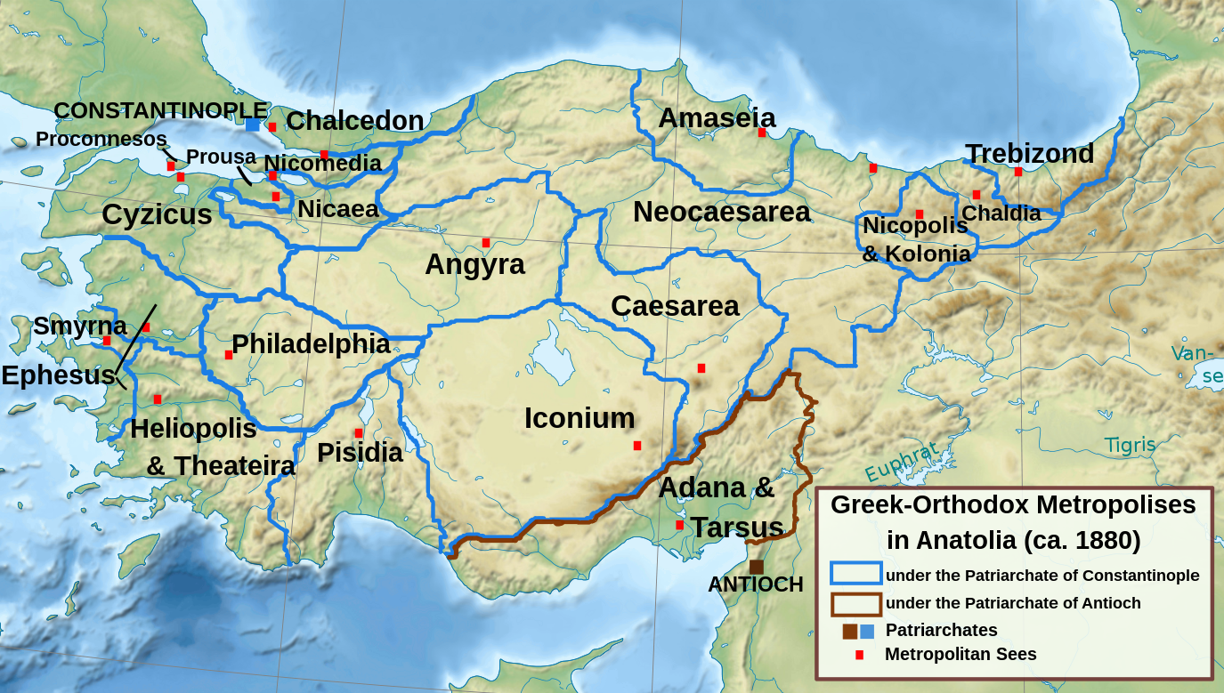
العربية:
خريطة أبرشيات الروم الأرثوذكس في آسية الصغرى (الأناضول) حوالي العام 1880م.
English:
Map of the Greek Orthodox Metropolises in Asia Minor (Anatolia) ca. 1880
Ελληνικά:
Οι ελληνοορθόδοξες Μητροπόλεις της Μικράς Ασίας, περίπου 1880
|
| Date | |
| Source | http://www.ehw.gr/l.aspx?id=9978 |
| Author | Self |
| Other versions |


|
Licensing
I, the copyright holder of this work, hereby publish it under the following licenses:

|
Permission is granted to copy, distribute and/or modify this document under the terms of the GNU Free Documentation License , Version 1.2 or any later version published by the Free Software Foundation ; with no Invariant Sections, no Front-Cover Texts, and no Back-Cover Texts. A copy of the license is included in the section entitled GNU Free Documentation License . |
This file is licensed under the
Creative Commons
Attribution-Share Alike
3.0 Unported
,
2.5 Generic
,
2.0 Generic
and
1.0 Generic
license.
-
You are free:
- to share – to copy, distribute and transmit the work
- to remix – to adapt the work
-
Under the following conditions:
- attribution – You must give appropriate credit, provide a link to the license, and indicate if changes were made. You may do so in any reasonable manner, but not in any way that suggests the licensor endorses you or your use.
- share alike – If you remix, transform, or build upon the material, you must distribute your contributions under the same or compatible license as the original.
You may select the license of your choice.