Aqua_rwanda_05jun04_250m.jpg
Size of this preview:
598 × 599 pixels
.
Other resolutions:
239 × 240 pixels
|
479 × 480 pixels
|
766 × 768 pixels
|
1,022 × 1,024 pixels
|
1,772 × 1,776 pixels
.
Summary
| Description |
Afrikaans:
Oorspronklike onderskrif lui: "In Oos-Sentraal-Afrika het talle brande (rooi gemerk), waarskynlik vir landbou-doeleindes, opgevlam terwyl die MODIS-instrument (spektroradiometer se mediumresolusie-aftaster) van NASA se Aqua-satelliet hierdie beeld op 5 Julie 2004 vasgevang het. In die Nasionale Akagera-wildtuin, synde genestel aan die oosgrens van Rwanda, kan die brande nie met roetine-landbouaktiwiteite verband hou nie. Volgens berigte het die veldbrande ontstaan weens stropers wat soveel as een derde van die beskermde gebied afgebrand het. Die digte (heldergroen) plantegroei van hierdie klein park (kyk reghoekige insetsel) dra verskeie rooibruin littekens, die grootste in die noordelike hoek van die park, wat deur drie brandende vure omring word. Wateroppervlakke in die beeld is blouswart."
English:
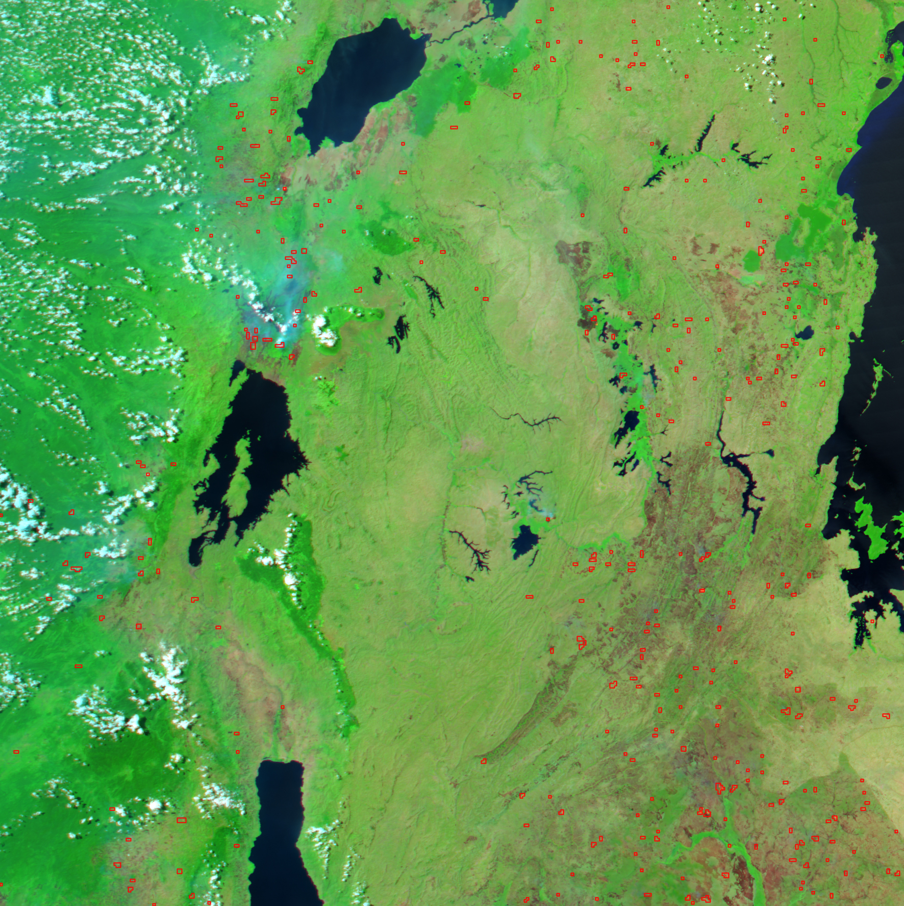
Original caption states, "In east-central Africa, numerous fires (marked in yellow [i.e. red on this version]), probably agricultural in purpose, were burning when the Moderate Resolution Imaging Spectroradiometer (MODIS) on NASA’s Aqua satellite captured this image on July 5, 2004. Unfortunately, in the Kagera National Park that hugs the far eastern margin of Rwanda, the fires may not be routine agricultural burning. According to news reports, wildfires started by poachers may have burned as much as one-third of the protected land in the park. The dense vegetation (bright green) of the small park (seen in rectangular inset) is marred by several reddish-brown burn scars, the largest in the northern tip of the park, surrounded by three actively burning fires. Water in the image appears dark blue or nearly black."
|
|||||
| Date |
9 July 2004 (original upload date) |
|||||
| Source | earthobservatory.nasa.gov | |||||
| Author | Jesse Allen, using NASA’s Aqua satellite's Moderate Resolution Imaging Spectroradiometer (MODIS) for the MODIS Rapid Response Team, NASA-GSFC | |||||
|
Permission
( Reusing this file ) |
|
|||||
| Other versions |
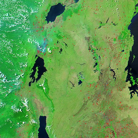
smaller version with inset of Akagera National Park:

area around Lake Kivu and Mukura Forest Reserve 
|
