Ardnamurchan_point.jpg
No higher resolution available.
Summary
| Description |
English:
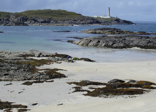
View across Eilean Chaluim Cille bay to
Ardnamurchan Point
and lighthouse.
|
| Date | |
| Source | |
| Author | Richard Suddaby |
|
Permission
( Reusing this file ) |
Creative Commons Attribution Share-alike license 2.0 |

| Camera location |
|
View this and other nearby images on: OpenStreetMap |
|
|---|
| Object location |
|
View this and other nearby images on: OpenStreetMap |
|
|---|
_region:GB-SCT_&language=en)
|
|
This is a
retouched picture
, which means that it has been digitally altered from its original version. Modifications:
cropped
. Modifications made by
Cactus.man
. The original can be found here:
https://www.geograph.org.uk/photo/56839
.
|
Licensing
This file is licensed under the
Creative Commons
Attribution-Share Alike 2.0 Generic
license.
Attribution:
Richard Suddaby
-
You are free:
- to share – to copy, distribute and transmit the work
- to remix – to adapt the work
-
Under the following conditions:
- attribution – You must give appropriate credit, provide a link to the license, and indicate if changes were made. You may do so in any reasonable manner, but not in any way that suggests the licensor endorses you or your use.
- share alike – If you remix, transform, or build upon the material, you must distribute your contributions under the same or compatible license as the original.