Arundel_Circus_entrance_to_the_WestQuay_shopping_centre_-_geograph.org.uk_-_210260.jpg
No higher resolution available.
Summary
| Description |
English:
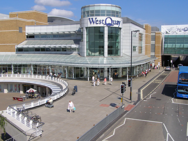
Arundel Circus entrance to the WestQuay shopping centre. The area outside this corner of the WestQuay shopping centre has been named Arundel Circus, presumably after the Arundel Tower of the nearby medieval city walls. The cylindrical tower on the corner of the shopping mall is presumably a modern reflection of the medieval Arundel Tower. This view is from the footbridge over Portland Terrace road, which makes up part of the 'walk the city walls' route, and has recently been re-opened to the public.
|
| Date | |
| Source | From geograph.org.uk |
| Author | Jim Champion |
|
Attribution
( required by the license ) |
Jim Champion / Arundel Circus entrance to the WestQuay shopping centre / |
| Object location |
|
View this and other nearby images on: OpenStreetMap |
|
|---|
_heading:0.00&language=en)
Licensing

|
This image was taken from the
Geograph project
collection. See
this photograph's page
on the Geograph website for the photographer's contact details. The copyright on this image is owned by
Jim Champion
and is licensed for reuse under the
Creative Commons
Attribution-ShareAlike 2.0 license.
|
This file is licensed under the
Creative Commons
Attribution-Share Alike 2.0 Generic
license.
Attribution:
Jim Champion
-
You are free:
- to share – to copy, distribute and transmit the work
- to remix – to adapt the work
-
Under the following conditions:
- attribution – You must give appropriate credit, provide a link to the license, and indicate if changes were made. You may do so in any reasonable manner, but not in any way that suggests the licensor endorses you or your use.
- share alike – If you remix, transform, or build upon the material, you must distribute your contributions under the same or compatible license as the original.
- Remove redundant categories and try to put this image in the most specific category/categories
- Remove this template
- The location categories are based on information from this geonames tool and this OpenStreetMap tool combined with a database. You can also have a look at this tool from mysociety .
- The topic category from Geograph was Shopping / Entertainment Centre (find similar images / Entertainment Centre at Geograph )