AtacamValley.jpg
Size of this preview:
800 × 501 pixels
.
Other resolutions:
320 × 200 pixels
|
640 × 400 pixels
|
1,024 × 641 pixels
|
1,600 × 1,001 pixels
.
Summary
| Description |
English:
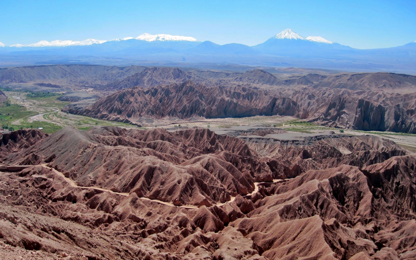
View during the Atacama Crossing 2011
Deutsch:
Blick von der Cordillera de la Sal auf das Tal des Río San Pedro, im Norden von San Pedro de Atacama. Links Catarpe und seine Plateaus.
|
||
| Source | Own work | ||
| Author | Smcmurtrey | ||
|
Permission
( Reusing this file ) |
I, the copyright holder of this work, hereby publish it under the following licenses:
This file is licensed under the
Creative Commons
Attribution-Share Alike
4.0 International
,
3.0 Unported
,
2.5 Generic
,
2.0 Generic
and
1.0 Generic
license.
You may select the license of your choice.
|

| Camera location |
|
View this and other nearby images on: OpenStreetMap |
|
|---|