Atafutrim.jpg

Size of this preview:
800 × 566 pixels
.
Other resolutions:
320 × 226 pixels
|
640 × 452 pixels
|
1,024 × 724 pixels
|
1,280 × 905 pixels
|
2,088 × 1,476 pixels
.
| Description |
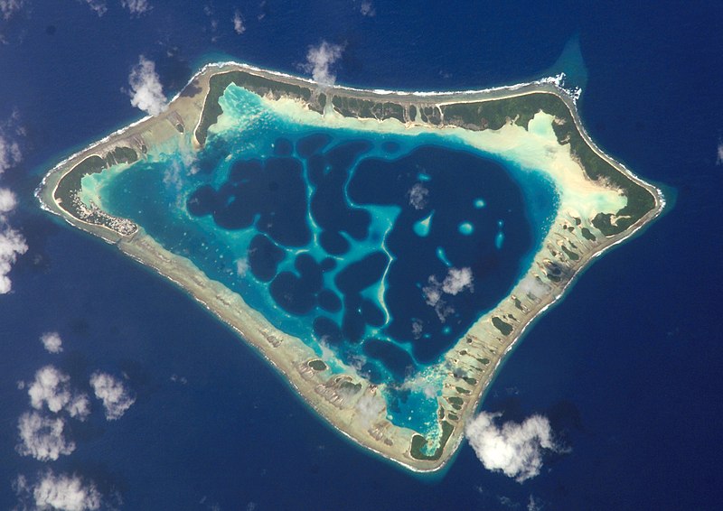
Cropped version of Atafu.jpg
|
| Date | (UTC) |
| Source | |
| Author |
|
| Object location |
|
View this and other nearby images on: OpenStreetMap |
|
|---|
|
|
This file is in the public domain in the United States because it was solely created by NASA . NASA copyright policy states that "NASA material is not protected by copyright unless noted ". (See Template:PD-USGov , NASA copyright policy page or JPL Image Use Policy .) |
|

|
Warnings:
|
Original upload log
This image is a derivative work of the following images:
- File:Atafu.jpg licensed with PD-USGov-NASA
Uploaded with derivativeFX

|
This image has been assessed under the valued image criteria and is considered the most valued image on Commons within the scope: Atafu atoll, Tokelau - satellite view . You can see its nomination here . |