Atlas-Mountains-Labeled-2.jpg

Size of this preview:
800 × 401 pixels
.
Other resolutions:
320 × 161 pixels
|
640 × 321 pixels
|
1,024 × 514 pixels
|
1,280 × 642 pixels
|
3,755 × 1,884 pixels
.
Summary
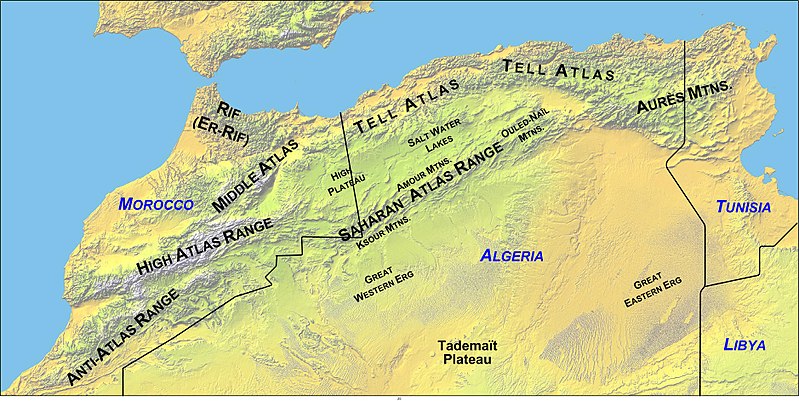
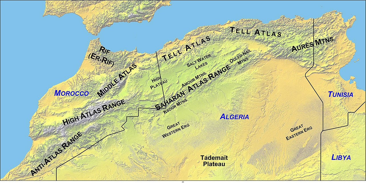
Map of North Africa showing the Atlas Mountains system's mountain ranges, with political boundaries.
- Updated Map Made by author - overlayed on "Image:Atlas (Gebirge).png" .
- Williamborg 05:07, 27 June 2006 (UTC)
Licensing
|
|
I, the copyright holder of this work, release this work into the
public domain
. This applies worldwide.
In some countries this may not be legally possible; if so: I grant anyone the right to use this work for any purpose , without any conditions, unless such conditions are required by law. |