Bald_Eagle_Nest_Trail_at_South_Toledo_Bend_State_Park.jpg

Size of this preview:
800 × 598 pixels
.
Other resolutions:
320 × 239 pixels
|
640 × 478 pixels
|
1,024 × 765 pixels
|
1,280 × 956 pixels
|
2,592 × 1,936 pixels
.
Summary
| Description |
English:
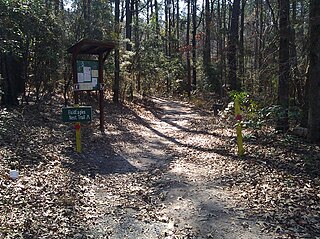
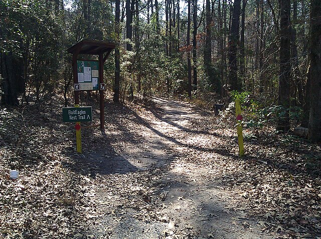
Entrance to the Bald Eagle Nest Trail at South Toledo Bend State Park near Anacoco, Louisiana.
|
| Date | |
| Source | Own work |
| Author | Chrismiceli |
| Camera location |
|
View this and other nearby images on: OpenStreetMap |
|
|---|
Licensing
|
|
I, the copyright holder of this work, release this work into the
public domain
. This applies worldwide.
In some countries this may not be legally possible; if so: I grant anyone the right to use this work for any purpose , without any conditions, unless such conditions are required by law. |