Barbary_coast3.jpg
Size of this preview:
800 × 478 pixels
.
Other resolutions:
320 × 191 pixels
|
640 × 382 pixels
|
974 × 582 pixels
.
Summary
| Description |
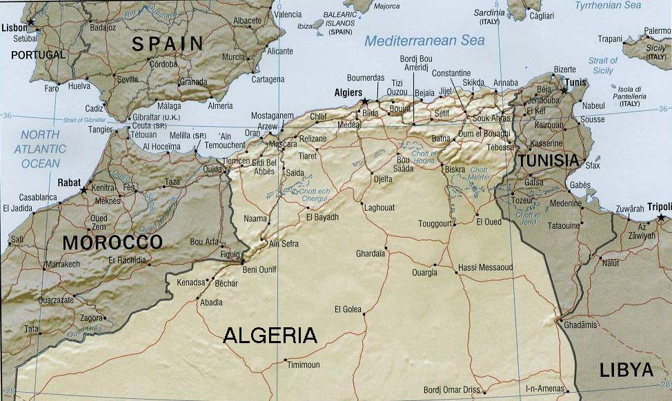
English:
Rendered map of former Barbary States (coastal region)
|
|||
| Date | ||||
| Source | U.S. Government / CIA Maps & Publications | |||
| Author | U.S. Government / Central Intelligence Agency | |||
|
Permission
( Reusing this file ) |
|
|||
| Other versions |

|
Licensing
|
|
This image is a work of a
Central Intelligence Agency
employee, taken or made as part of that person's official duties. As a Work of the United States Government, this image or media is in the
public domain
in the United States.
|

|