Bodysgallenhallcmichaelhoganlowres.jpg
No higher resolution available.
Summary
| Description |
English:
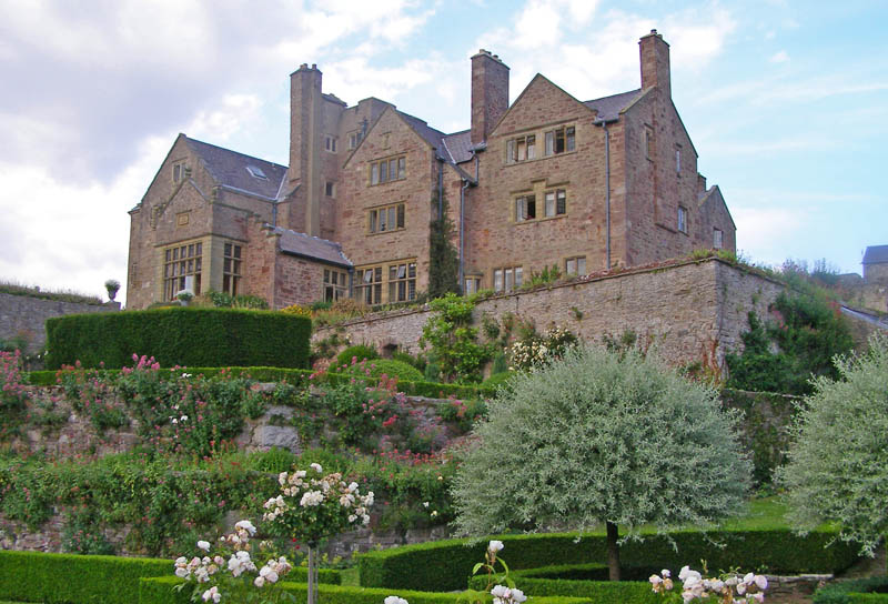
Bodysgallen Hall
from gardens below
|
| Date | |
| Source | Own work |
| Author | C Michael Hogan; |
| Camera location |
|
View this and other nearby images on: OpenStreetMap |
|
|---|
Licensing
This file is licensed under the
Creative Commons
Attribution-Share Alike 2.5 Generic
license.
-
You are free:
- to share – to copy, distribute and transmit the work
- to remix – to adapt the work
-
Under the following conditions:
- attribution – You must give appropriate credit, provide a link to the license, and indicate if changes were made. You may do so in any reasonable manner, but not in any way that suggests the licensor endorses you or your use.
- share alike – If you remix, transform, or build upon the material, you must distribute your contributions under the same or compatible license as the original.
Original upload log
The original description page was
here
. All following user names refer to en.wikipedia.
| Date/Time | Dimensions | User | Comment |
|---|---|---|---|
| 2007-01-25 22:20 | 800x544 (144396 bytes) | Anlace | photo of bodysgallen hall from gardens below; date of photo 2006; photographer: c michael hogan; low resolution version of original photograph |