Bonaire_Salt_Pier.jpg

Size of this preview:
800 × 600 pixels
.
Other resolutions:
320 × 240 pixels
|
640 × 480 pixels
|
1,024 × 768 pixels
|
1,280 × 960 pixels
|
2,560 × 1,920 pixels
|
3,648 × 2,736 pixels
.
Summary
| Camera location |
|
View this and other nearby images on: OpenStreetMap |
|
|---|
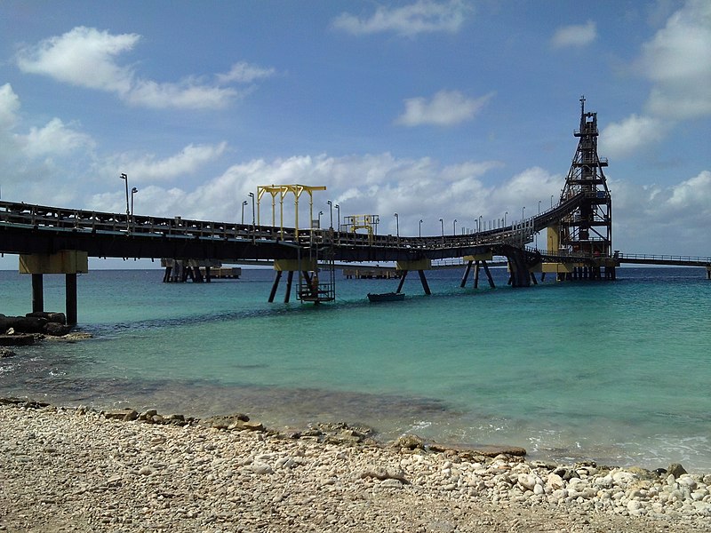
| Description |
Français :
Le terminal de chargement de sel à
Bonaire
English:
Salt pier in Bonaire
|
||
| Date | |||
| Source | Own work | ||
| Author | Utilisateur:Bel Adone | ||
|
Permission
( Reusing this file ) |
|