Boston_city_hall.jpg
Size of this preview:
800 × 442 pixels
.
Other resolutions:
320 × 177 pixels
|
640 × 354 pixels
|
1,024 × 566 pixels
|
1,280 × 707 pixels
|
2,560 × 1,414 pixels
|
5,431 × 3,000 pixels
.
Summary
| Description |
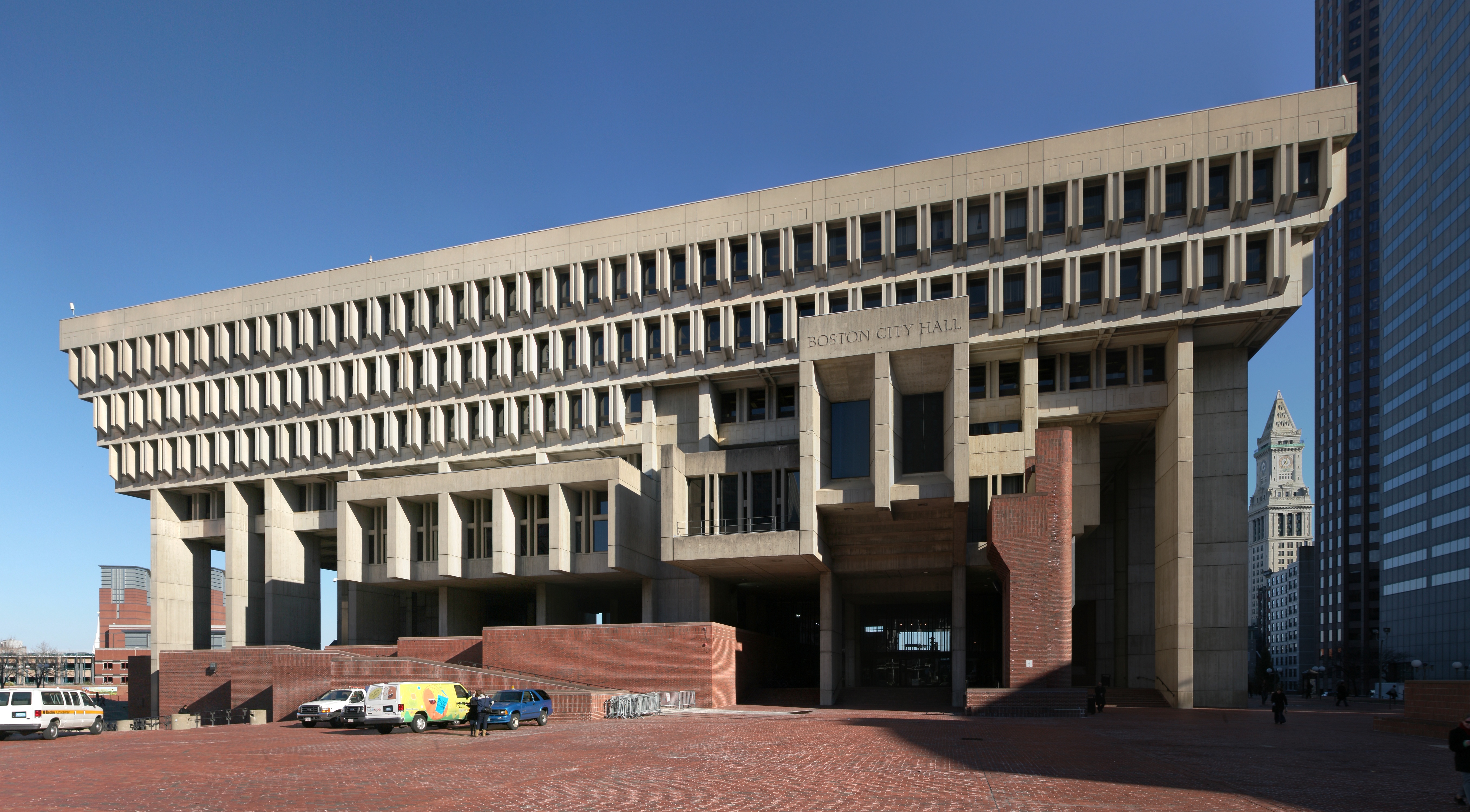
Deutsch:
Rathaus von Boston
English:
Boston city hall
العربية:
قاعة مدينة بوسطن
|
| Date | |
| Source | Own work |
| Author | Daniel Schwen |
| Camera location |
|
View this and other nearby images on: OpenStreetMap |
|
|---|
Licensing
I, the copyright holder of this work, hereby publish it under the following license:
This file is licensed under the
Creative Commons
Attribution-Share Alike 4.0 International
license.
-
You are free:
- to share – to copy, distribute and transmit the work
- to remix – to adapt the work
-
Under the following conditions:
- attribution – You must give appropriate credit, provide a link to the license, and indicate if changes were made. You may do so in any reasonable manner, but not in any way that suggests the licensor endorses you or your use.
- share alike – If you remix, transform, or build upon the material, you must distribute your contributions under the same or compatible license as the original.
|
|
This image has been assessed using the
Quality image guidelines
and is considered a
Quality image
.
|