Bright_Atlanta.jpg

Size of this preview:
800 × 547 pixels
.
Other resolutions:
320 × 219 pixels
|
640 × 437 pixels
|
1,024 × 700 pixels
|
1,280 × 875 pixels
|
2,560 × 1,750 pixels
|
3,333 × 2,278 pixels
.
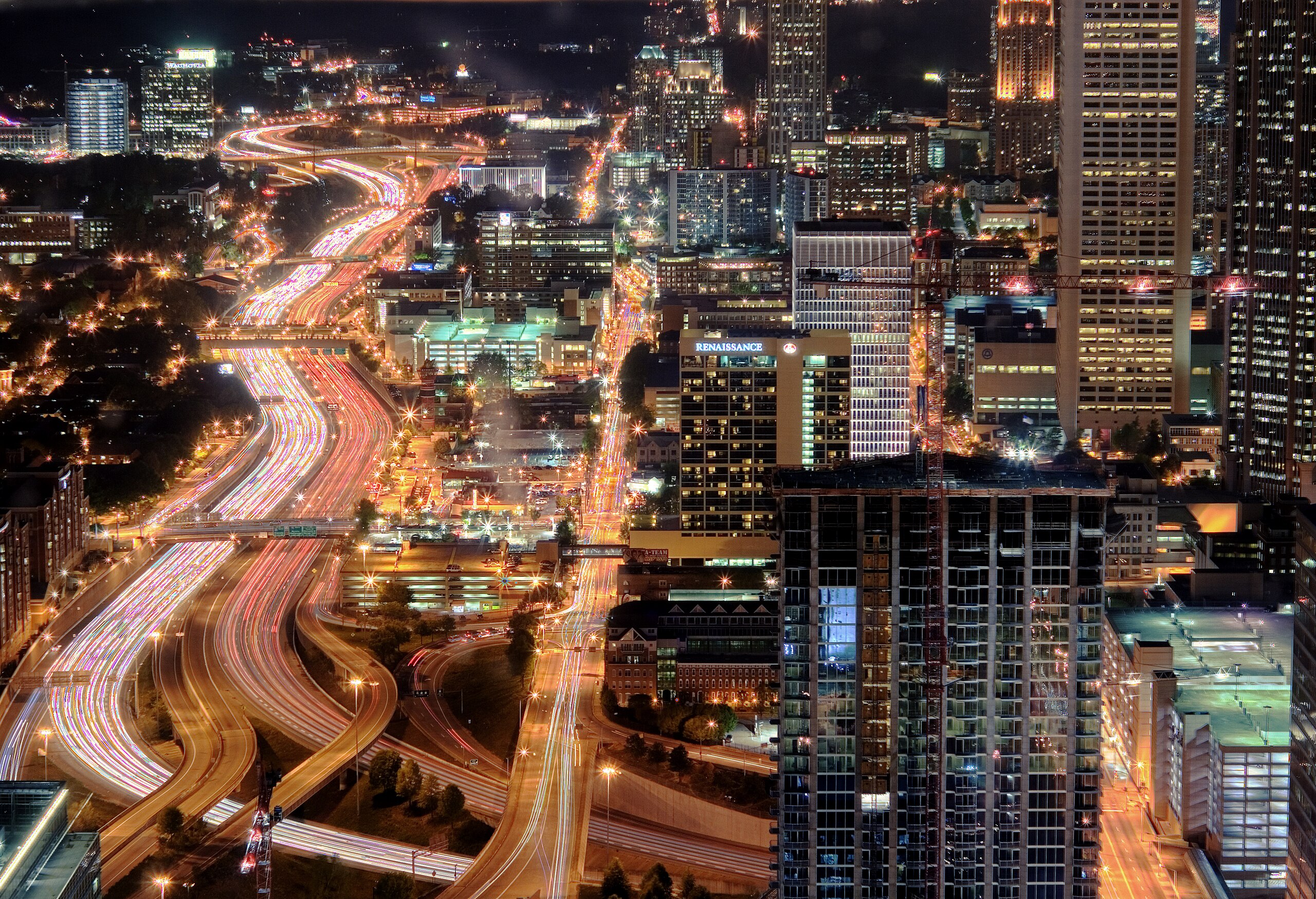
| Description | Atlanta Downtown Connector at night |
| Date | |
| Source | Flickr |
| Author | Brett Weinstein from Scarsdale, New York |
| Camera location |
|
View this and other nearby images on: OpenStreetMap |
|
|---|
Licensing
This file is licensed under the
Creative Commons
Attribution-Share Alike 2.0 Generic
license.
-
You are free:
- to share – to copy, distribute and transmit the work
- to remix – to adapt the work
-
Under the following conditions:
- attribution – You must give appropriate credit, provide a link to the license, and indicate if changes were made. You may do so in any reasonable manner, but not in any way that suggests the licensor endorses you or your use.
- share alike – If you remix, transform, or build upon the material, you must distribute your contributions under the same or compatible license as the original.
|
|
This image, originally posted to Flickr , was reviewed on 18 June 2009 by the administrator or reviewer Chenzw , who confirmed that it was available on Flickr under the stated license on that date. |