CIA_map_of_the_Caribbean.png
Size of this preview:
800 × 553 pixels
.
Other resolutions:
320 × 221 pixels
|
640 × 442 pixels
|
1,024 × 708 pixels
|
1,291 × 892 pixels
.
Summary
| Description |
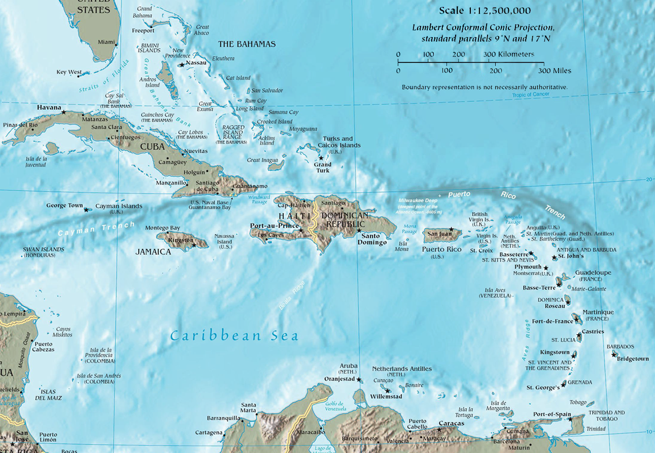
English:
Map of the Caribbean by the CIA World Factbook
Español:
Mapa del Caribe en el CIA World Factbook
|
| Date | |
| Source | CIA The World Factbook - Regional maps (Used to be here ) |
| Author | U.S. Central Intelligence Agency (CIA) |

|
This
map
image could be re-created
using
vector graphics
as an
SVG
file
. This has several advantages; see
Commons:Media for cleanup
for more information. If an SVG form of this image is available, please upload it and afterwards replace this template with
{{

vector version available

|

new image name

}}
.
It is recommended to name the SVG file “CIA map of the Caribbean.svg”—then the template Vector version available (or Vva ) does not need the new image name parameter. |
Licensing
|
|
This image is in the
public domain
because it contains materials that originally came from the United States
Central Intelligence Agency
's
World Factbook
.
|

|