Cadet_chapel.jpg
No higher resolution available.
Summary
|
|
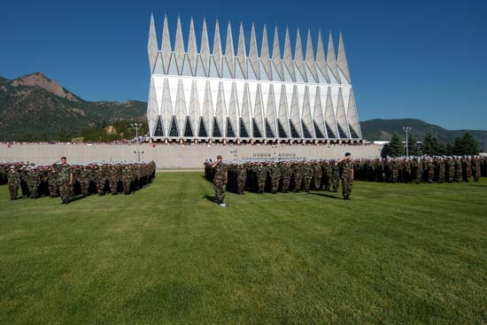
This is an image of a place or building that is listed on the
National Register of Historic Places
in the
United States of America
. Its reference number is
4000484
.
|
| Description | |
| Source | http://www.usafa.af.mil/cadetFocus/cadetPhotos/2009/si/ |
| Author |
| Object location |
|
View this and other nearby images on: OpenStreetMap |
|
|---|
Licensing
|
|
This image or file is a work of a
U.S. Air Force
Airman or employee, taken or made as part of that person's official duties. As a
work
of the
U.S. federal government
, the image or file is in the
public domain
in the United States.
|

|
Original upload log
The original description page was
here
. All following user names refer to en.wikipedia.
- 2007-02-16 12:05 Tarfu92 550×367× (36557 bytes) http://www.usafa.af.mil/cadetFocus/cadetPhotos/2009/si/