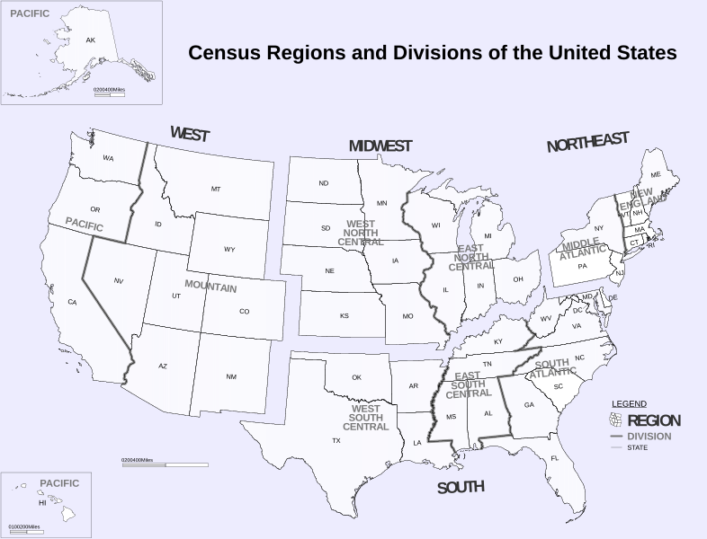
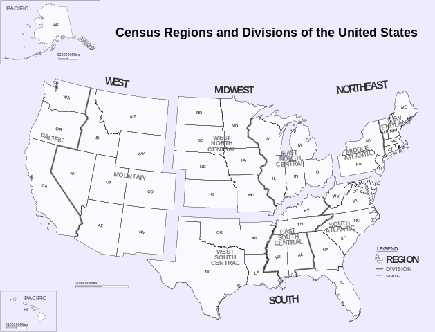
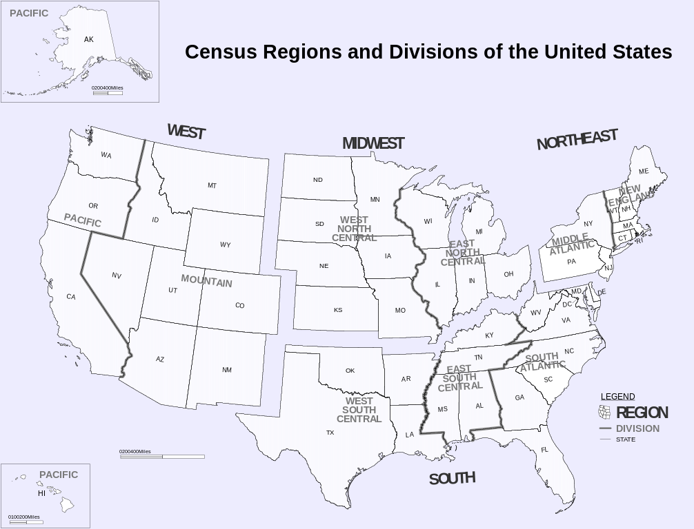
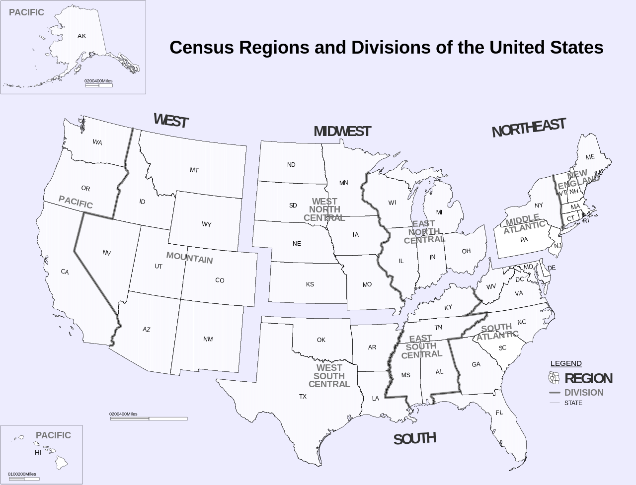
Census_Regions_and_Division_of_the_United_States.svg

Size of this PNG preview of this SVG file:
786 × 600 pixels
.
Other resolutions:
315 × 240 pixels
|
629 × 480 pixels
|
1,006 × 768 pixels
|
1,280 × 977 pixels
|
2,560 × 1,954 pixels
|
942 × 719 pixels
.
Summary
| Description |
English:
Census Regions and Division of the United States.
|
| Date | (from pdf) |
| Source | https://www2.census.gov/geo/pdfs/maps-data/maps/reference/us_regdiv.pdf |
| Author | US Census Bureau |
| Other versions | File:Census Regions and Divisions.PNG |
| SVG development |
Licensing
|
|
This image or file is a work of a
United States Census Bureau
employee, taken or made as part of that person's official duties. As a
work
of the
U.S. federal government
, the image is in the
public domain
.
|

|