Ceuta_desde_el_Monte_Hacho,_2008.jpg
Size of this preview:
800 × 325 pixels
.
Other resolutions:
320 × 130 pixels
|
1,024 × 416 pixels
.
Summary
| Description |
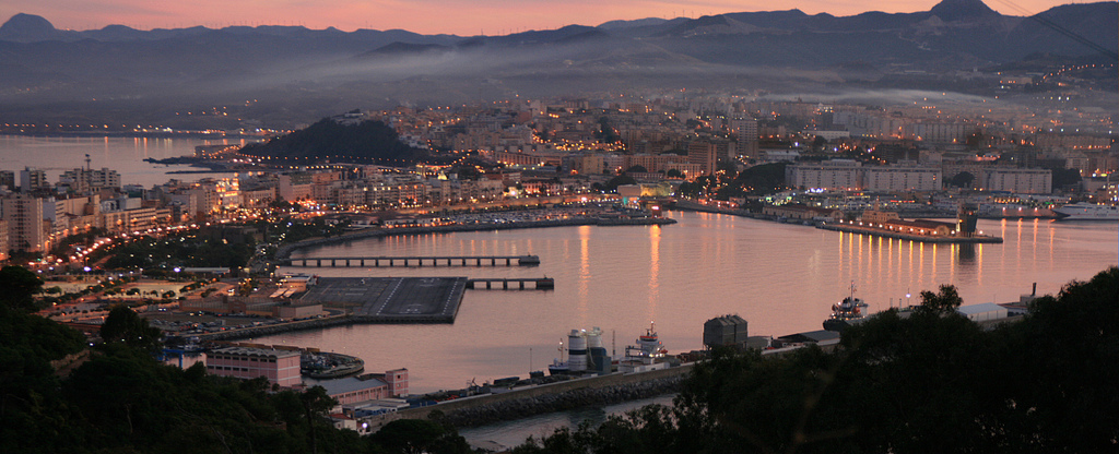
Español:
Ceuta desde el Monte Hacho, 2008
|
| Date | |
| Source |
Ceuta desde el Monte Hacho, 2008
|
| Author | Víctor Fernández Salinas from Sevilla, España |
| Camera location |
|
View this and other nearby images on: OpenStreetMap |
|
|---|
Licensing
This file is licensed under the
Creative Commons
Attribution 2.0 Generic
license.
-
You are free:
- to share – to copy, distribute and transmit the work
- to remix – to adapt the work
-
Under the following conditions:
- attribution – You must give appropriate credit, provide a link to the license, and indicate if changes were made. You may do so in any reasonable manner, but not in any way that suggests the licensor endorses you or your use.
|
|
This image, originally posted to Flickr , was reviewed on 6 February 2013 by the administrator or reviewer File Upload Bot (Magnus Manske) , who confirmed that it was available on Flickr under the stated license on that date. |