Chad_sat.jpg

Size of this preview:
394 × 599 pixels
.
Other resolutions:
158 × 240 pixels
|
316 × 480 pixels
|
505 × 768 pixels
|
1,265 × 1,922 pixels
.
Summary
| Description |
Español:
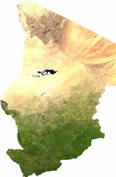
Mapa satelital de Chad, se puede apreciar el contraste entre la zona árida del norte, que corresponde al sur del
Sahara
; y la zona fértil del sur.
Los musulmanes del norte piden privilegios económicos.
|
| Date | |
| Source | user |
| Author | Cwolfsheep |
Licensing
|
|
This file is in the
public domain
, because it was generated by a user, using free sources available at
The Map Library
.
Note that this does not include the maps in the Global Administrative Areas section of the homepage. |