Chalus_road_-_ninara_02.jpg
Size of this preview:
800 × 593 pixels
.
Other resolutions:
320 × 237 pixels
|
640 × 474 pixels
|
1,024 × 759 pixels
|
1,280 × 949 pixels
|
2,560 × 1,897 pixels
|
4,095 × 3,035 pixels
.
Summary
| Description |
English:
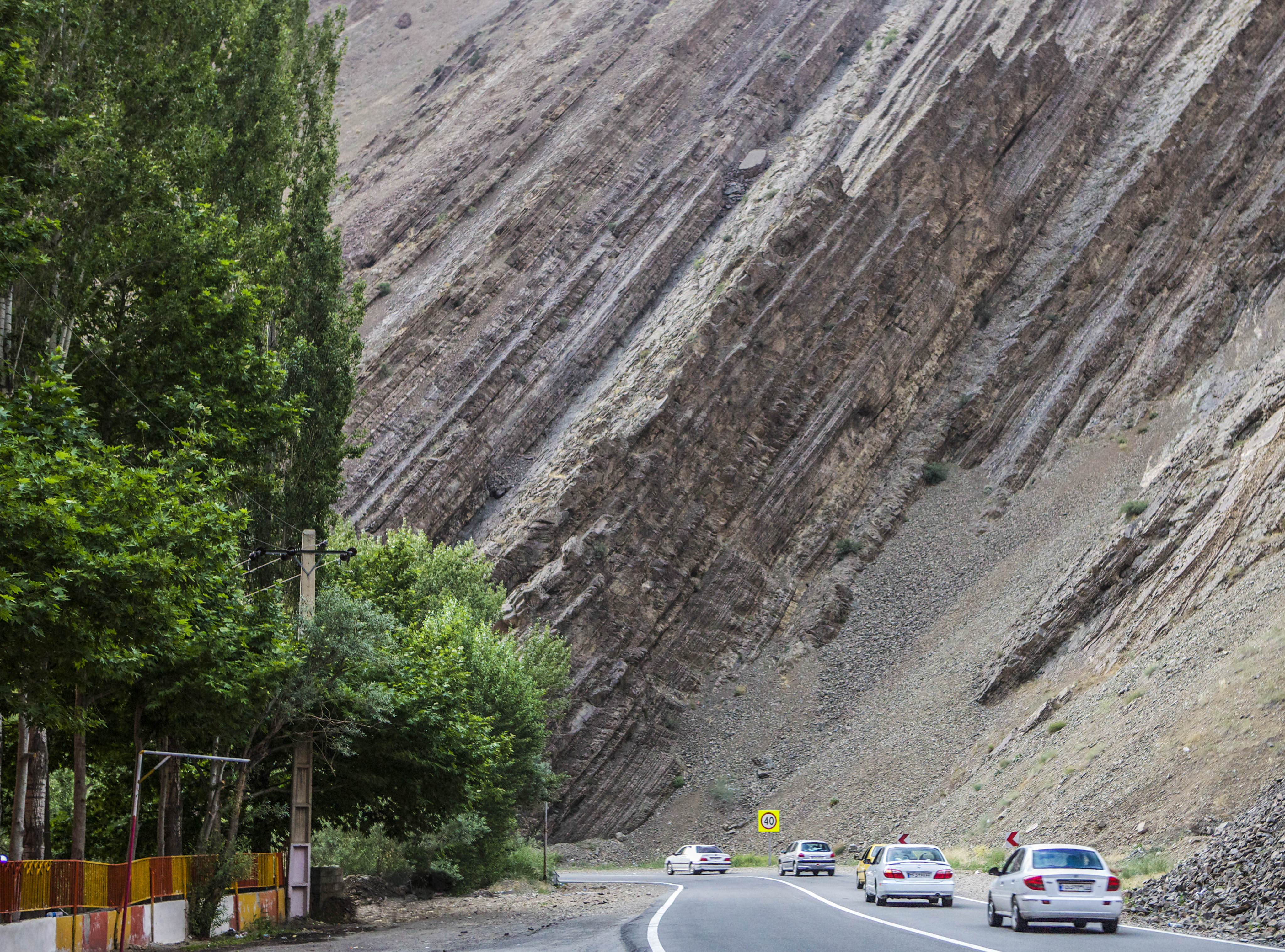
Chalus road, Iran
|
| Date | |
| Source | https://www.flickr.com/photos/ninara/14181107596/ |
| Author | ninara |
| Camera location |
|
View this and other nearby images on: OpenStreetMap |
|
|---|
Licensing
|
|
This image was originally posted to Flickr . Its license was verified as "cc-by-2.0" by the UploadWizard Extension at the time it was transferred to Commons. See the license information for further details. |
This file is licensed under the
Creative Commons
Attribution 2.0 Generic
license.
-
You are free:
- to share – to copy, distribute and transmit the work
- to remix – to adapt the work
-
Under the following conditions:
- attribution – You must give appropriate credit, provide a link to the license, and indicate if changes were made. You may do so in any reasonable manner, but not in any way that suggests the licensor endorses you or your use.