Chesapeake_Bay_Bridge_viewed_from_Sandy_Point_State_Park.jpg
Size of this preview:
800 × 450 pixels
.
Other resolutions:
320 × 180 pixels
|
640 × 360 pixels
|
1,024 × 576 pixels
|
1,280 × 720 pixels
|
2,560 × 1,440 pixels
|
3,648 × 2,052 pixels
.
Summary
| Description |
English:
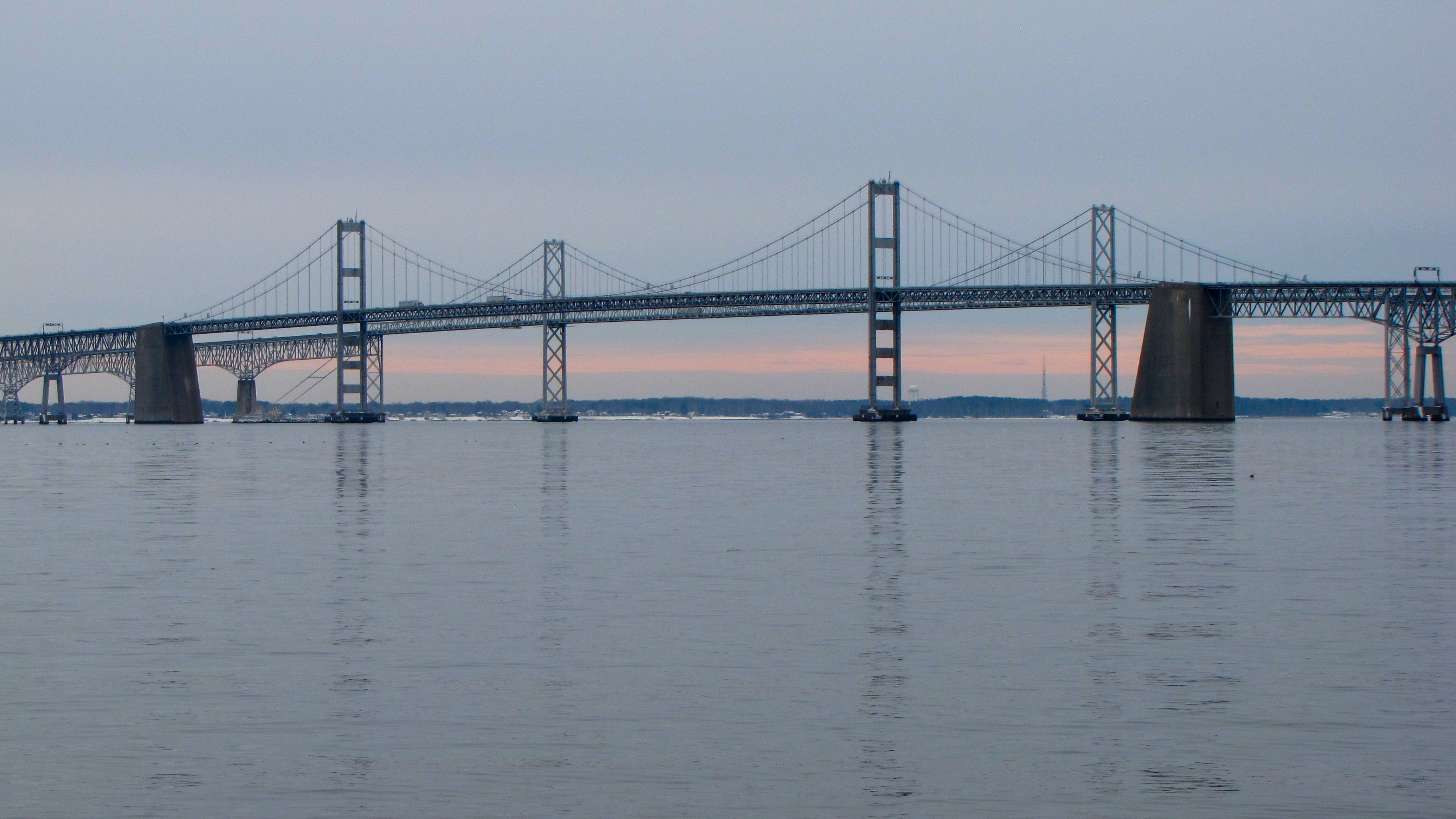
The Chesapeake Bay Bridge as viewed from Sandy Point State Park in Anne Arundel County, Maryland.
|
| Date | |
| Source | Own work |
| Author | Ben Schumin |
|
Permission
( Reusing this file ) |
Own work |
| Camera location |
|
View this and other nearby images on: OpenStreetMap |
|
|---|
Licensing
This file is licensed under the
Creative Commons
Attribution-Share Alike 3.0 Unported
license.
-
You are free:
- to share – to copy, distribute and transmit the work
- to remix – to adapt the work
-
Under the following conditions:
- attribution – You must give appropriate credit, provide a link to the license, and indicate if changes were made. You may do so in any reasonable manner, but not in any way that suggests the licensor endorses you or your use.
- share alike – If you remix, transform, or build upon the material, you must distribute your contributions under the same or compatible license as the original.