Châtillon_map.svg

Size of this PNG preview of this SVG file:
587 × 600 pixels
.
Other resolutions:
235 × 240 pixels
|
470 × 480 pixels
|
752 × 768 pixels
|
1,002 × 1,024 pixels
|
2,004 × 2,048 pixels
|
1,552 × 1,586 pixels
.
Summary
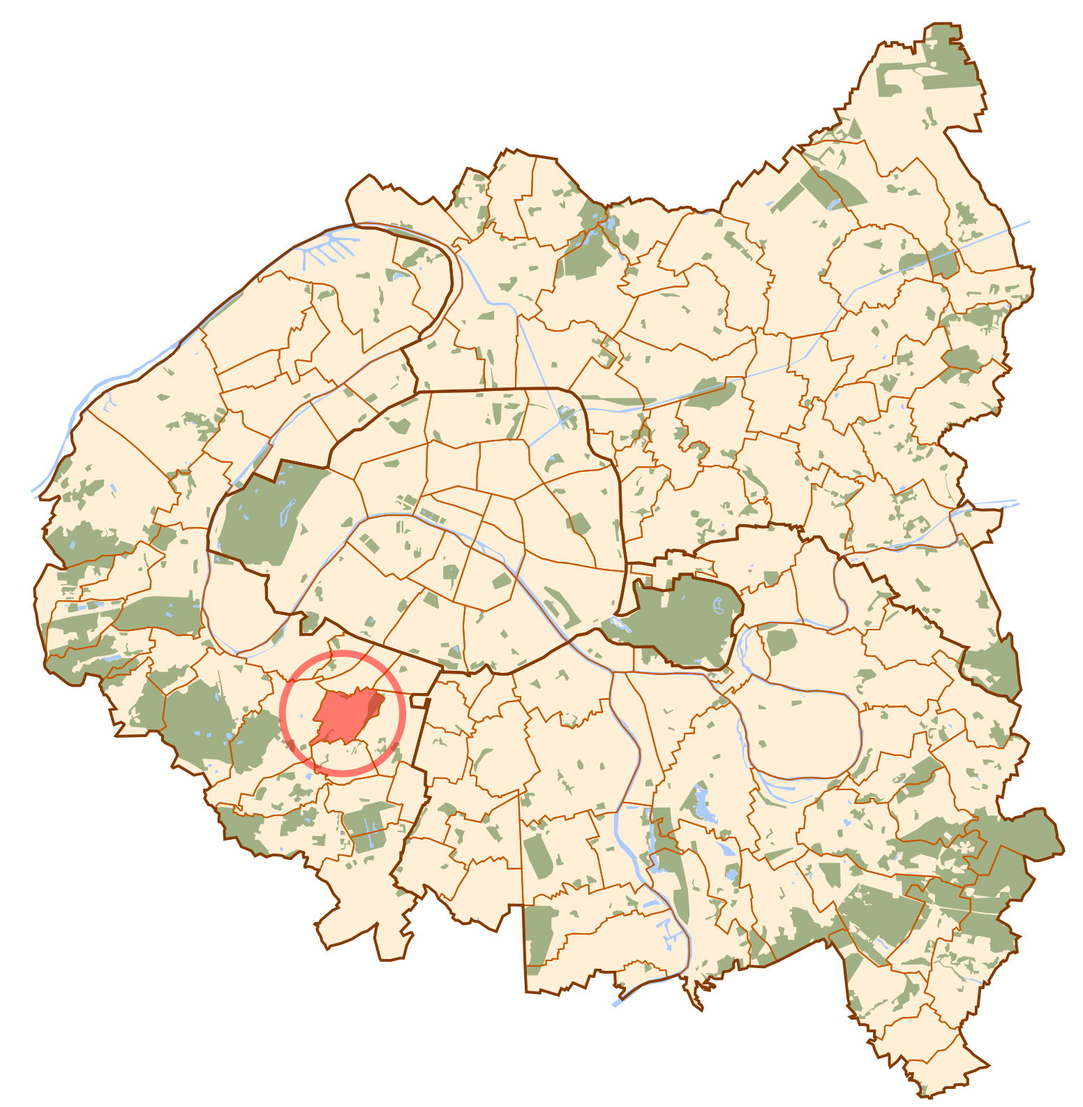
| Description | Map of Paris and its inner ring départements, localization of Châtillon (Author: Metropolitan ). |
| Date | 10 October 2006 (original upload date) |
| Source | No machine-readable source provided. Own work assumed (based on copyright claims). |
| Author | No machine-readable author provided. Metropolitan~commonswiki assumed (based on copyright claims). |
Licensing
|
|
I, the copyright holder of this work, release this work into the
public domain
. This applies worldwide.
In some countries this may not be legally possible; if so: I grant anyone the right to use this work for any purpose , without any conditions, unless such conditions are required by law. |