Claverton_Pumping_Station_Exterior.JPG
Size of this preview:
800 × 533 pixels
.
Other resolutions:
320 × 213 pixels
|
640 × 427 pixels
|
1,024 × 683 pixels
|
1,280 × 853 pixels
|
2,160 × 1,440 pixels
.
Summary
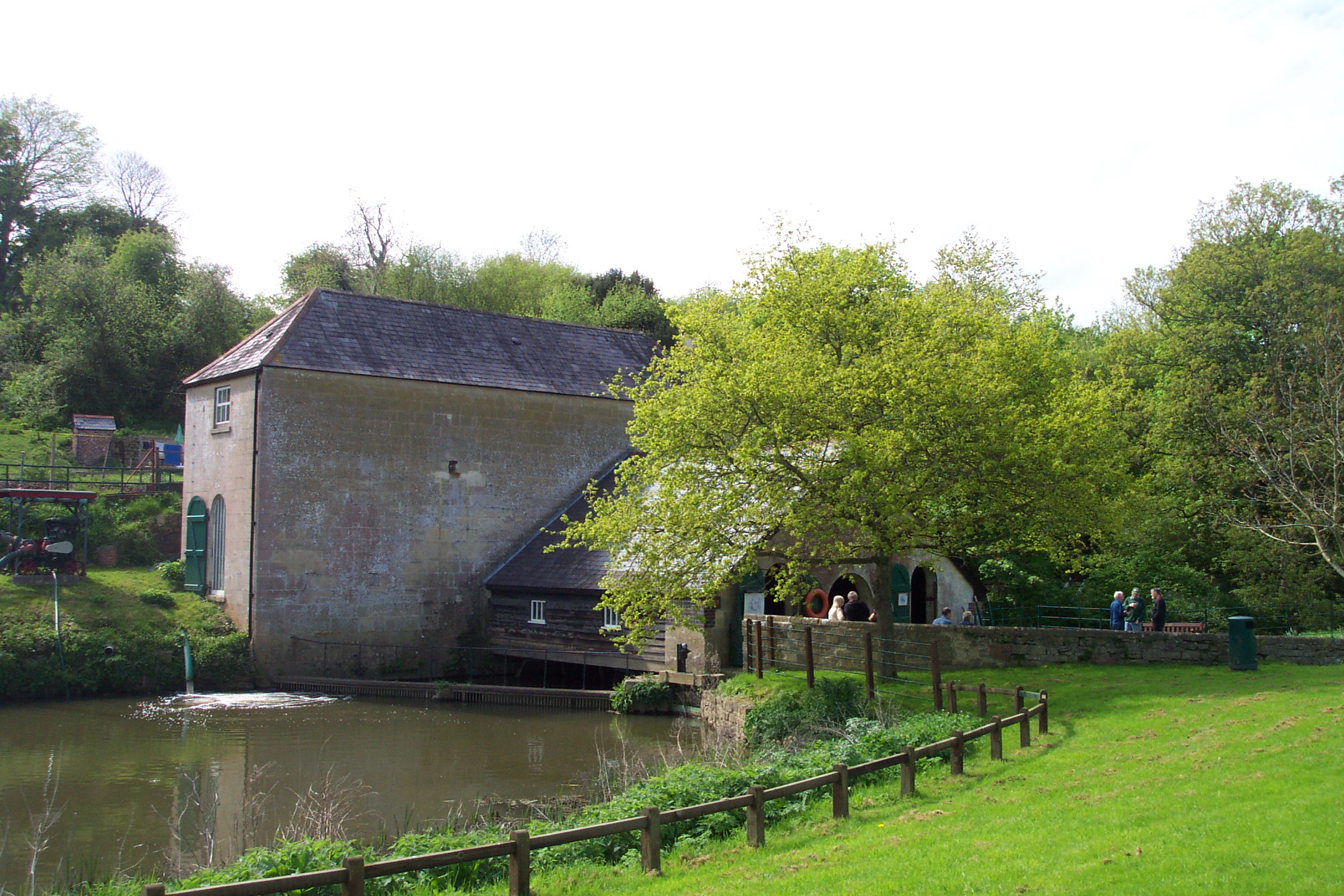
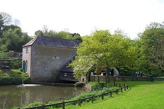
| Description | The exterior of Claverton Pumping Station, on the River Avon and Kennet and Avon Canal, in the county of Somerset in England. For more information see the Wikipedia article Claverton Pumping Station . |
| Date | Taken in July 2005 |
| Source |
Photograph by myself with original filename DCP_3866.JPG. Unmodified. |
| Author | Chris Wood ( User:chris_j_wood ). |
|
Permission
( Reusing this file ) |
Copyright (c) 2005 Chris Wood. Uploaded by the copyright holder under the terms of the GFDL (see below). |
| Other versions |
| Camera location |
|
View this and other nearby images on: OpenStreetMap |
|
|---|
Licensing
I, the copyright holder of this work, hereby publish it under the following licenses:

|
Permission is granted to copy, distribute and/or modify this document under the terms of the GNU Free Documentation License , Version 1.2 or any later version published by the Free Software Foundation ; with no Invariant Sections, no Front-Cover Texts, and no Back-Cover Texts. A copy of the license is included in the section entitled GNU Free Documentation License . |
|
|
This file is licensed under the Creative Commons Attribution-Share Alike 3.0 Unported license. | |
|
||
| This licensing tag was added to this file as part of the GFDL licensing update . |
You may select the license of your choice.