Cohrs_atlas_över_Sverige_Stockholm_map.jpg
Size of this preview:
572 × 599 pixels
.
Other resolutions:
229 × 240 pixels
|
458 × 480 pixels
|
733 × 768 pixels
|
978 × 1,024 pixels
|
1,955 × 2,048 pixels
|
5,436 × 5,694 pixels
.
| Description |
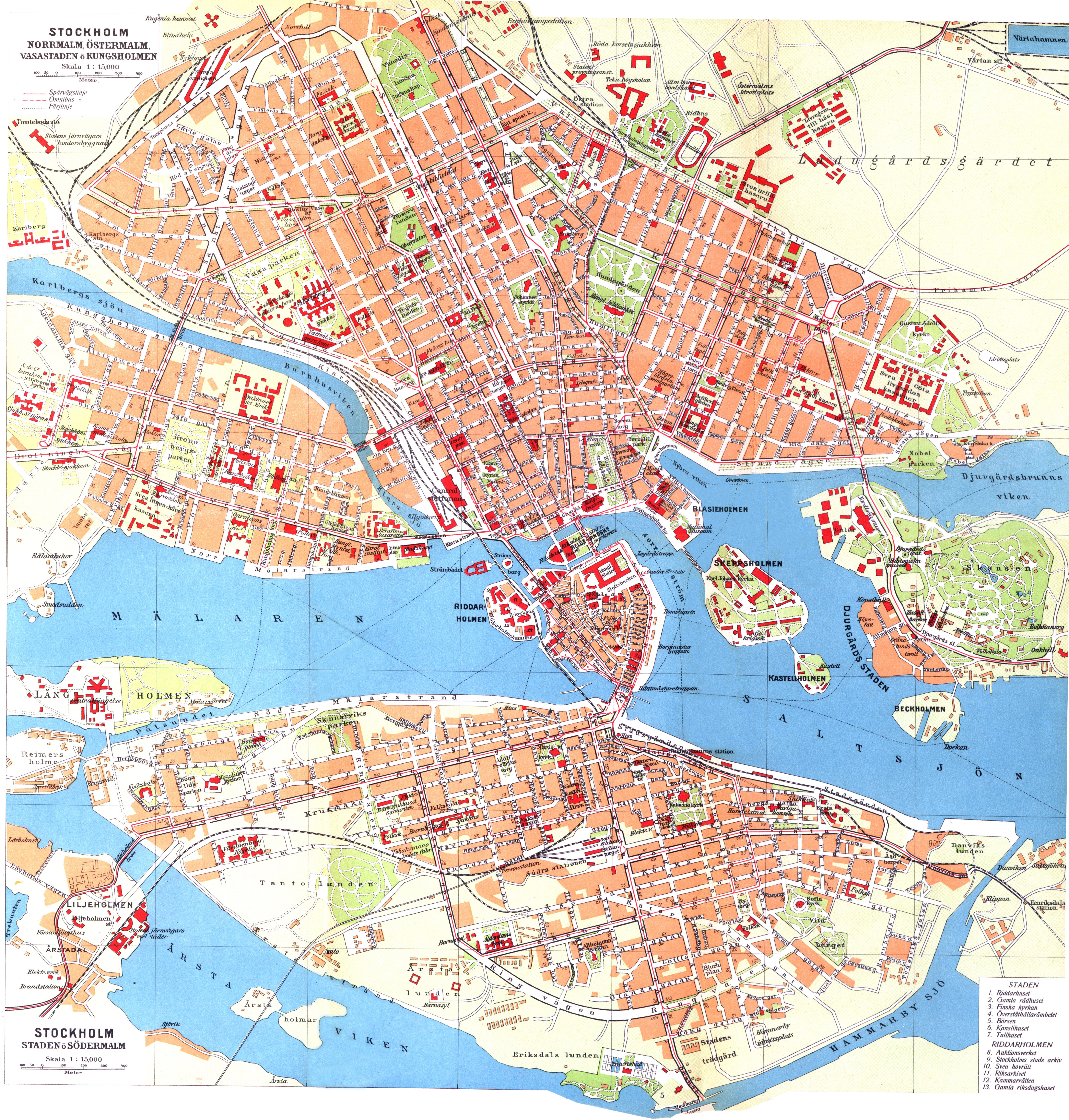
English:
Map of northern Stockholm in Sweden.
Svenska:
Karta över norra Stockholm.
English:
Map of southern Stockholm in Sweden.
Svenska:
Karta över södra Stockholm.
|
| Date | |
| Source | |
| Author |
|
|
|
This is a
retouched picture
, which means that it has been digitally altered from its original version. Modifications:
combined
. The original can be viewed here:
Cohrs atlas över Sverige 0022 Stockholm south.jpg
:
|
|
|
I, the copyright holder of this work, release this work into the
public domain
. This applies worldwide.
In some countries this may not be legally possible; if so: I grant anyone the right to use this work for any purpose , without any conditions, unless such conditions are required by law. |
Original upload log
This image is a derivative work of the following images:
-
File:Cohrs_atlas_över_Sverige_0021_Stockholm_north.jpg
licensed with PD-old, PD-old/sv
- 2009-11-12T01:06:38Z LA2 5986x3164 (4152269 Bytes) {{Information |Description={{en|1=Map of northern Stockholm in Sweden.}} {{sv|1=Karta över norra Stockholm.}} |Source=[http://runeberg.org/svcohrs/0021.html Cohrs atlas över Sverige (1928), p. 40-42], as scanned in 400 dpi
-
File:Cohrs_atlas_över_Sverige_0022_Stockholm_south.jpg
licensed with PD-old, PD-old/sv
- 2009-11-12T01:07:28Z LA2 5986x3164 (3842727 Bytes) {{Information |Description={{en|1=Map of southern Stockholm in Sweden.}} {{sv|1=Karta över södra Stockholm.}} |Source=[http://runeberg.org/svcohrs/0022.html Cohrs atlas över Sverige (1928), p. 43-45], as scanned in 400 dpi
Uploaded with derivativeFX