Cornelius_Wytfliet_South_1597.jpg
Size of this preview:
746 × 599 pixels
.
Other resolutions:
299 × 240 pixels
|
598 × 480 pixels
|
956 × 768 pixels
|
1,275 × 1,024 pixels
|
1,474 × 1,184 pixels
.
Summary
| Description |
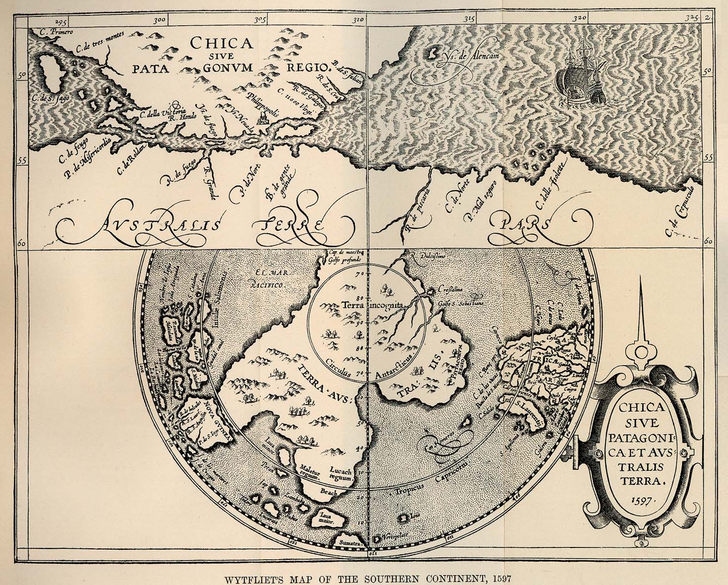
Deutsch:
Terra Australis in Karte von Cornelius Wytfliet, 1597
|
| Date | |
| Source | http://www.lib.utexas.edu/maps/historical/wytfliets_south_1597.jpg |
| Creator |
Cornelius Wytfliet
|
|
Permission
( Reusing this file ) |
frei, da älter als 400 Jahre |
| Georeferencing | If inappropriate please set warp_status = skip to hide. |
Licensing
|
|
This work is in the public domain in its country of origin and other countries and areas where the copyright term is the author's life plus 100 years or fewer . |
| This file has been identified as being free of known restrictions under copyright law, including all related and neighboring rights. | |
Original upload log
Transferred from de.wikipedia to Commons by Ireas using CommonsHelper .
The original description page was
here
. All following user names refer to de.wikipedia.
- 2009-10-18 21:43 Borsanova 1474×1184× (504733 bytes) {{Information |Beschreibung = Terra Australis in Karte von Cornelius Wytfliet, 1597 |Quelle = http://www.lib.utexas.edu/maps/historical/wytfliets_south_1597.jpg |Urheber = Cornelius Wytfliet |Datum = 1597 |Genehmigung = frei, da älter als 400 Jahre |And