Cotswolds_AONB_locator_map.svg

Size of this PNG preview of this SVG file:
494 × 600 pixels
.
Other resolutions:
198 × 240 pixels
|
395 × 480 pixels
|
633 × 768 pixels
|
844 × 1,024 pixels
|
1,687 × 2,048 pixels
|
1,648 × 2,000 pixels
.
| Description |
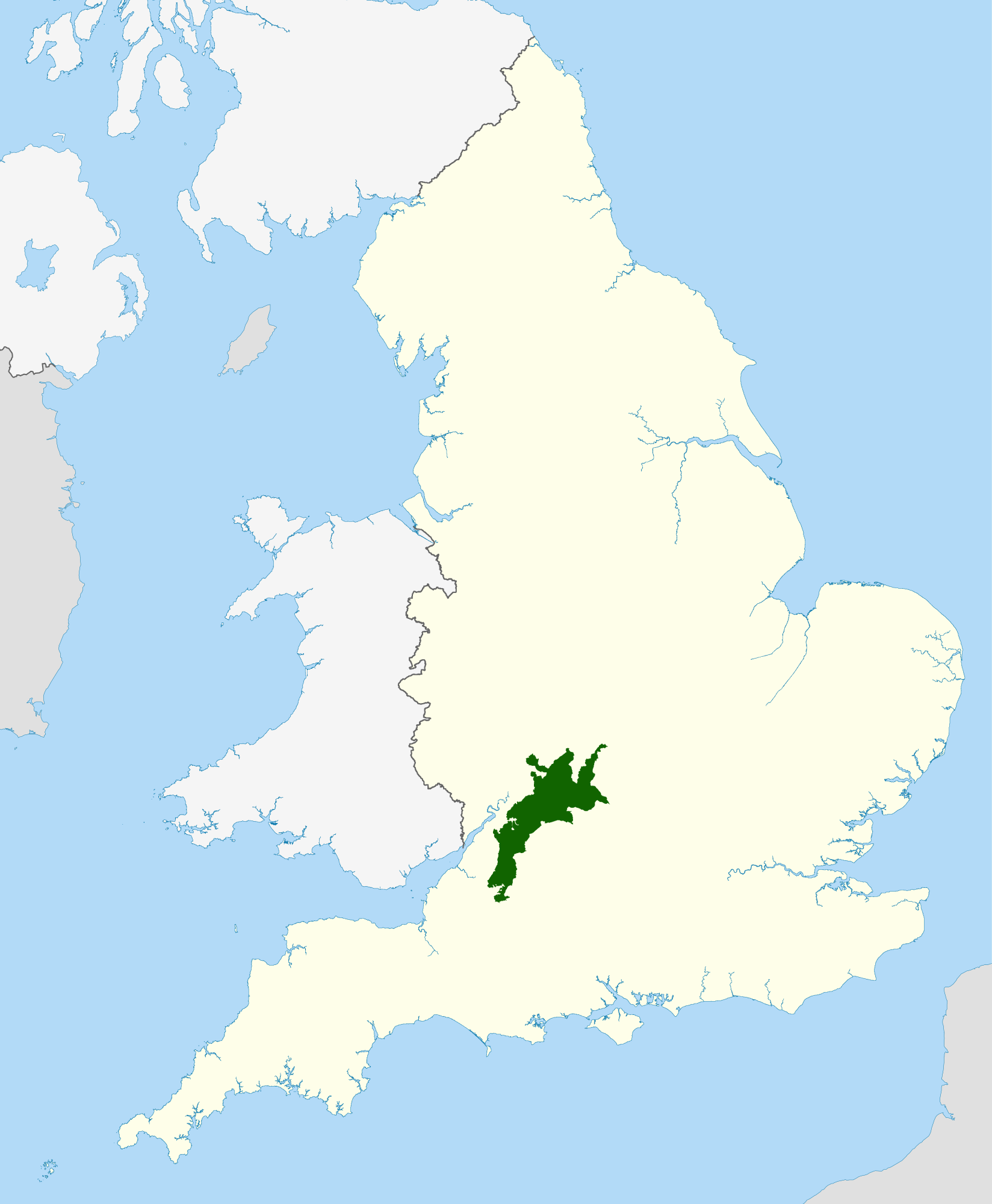
Locator map of the Cotswolds range of hills in central and western England .
|
| Date | |
| Source |
National Geospatial-Intelligence Agency
|
| Author | Nilfanion , using Ordnance Survey and Natural England data |
|
Permission
( Reusing this file ) |
This file is licensed under the
Creative Commons
Attribution-Share Alike 3.0 Unported
license.
Attribution:
© Natural England copyright 2012. Contains Ordnance Survey data © Crown copyright and database right 2012
|