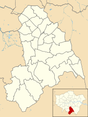
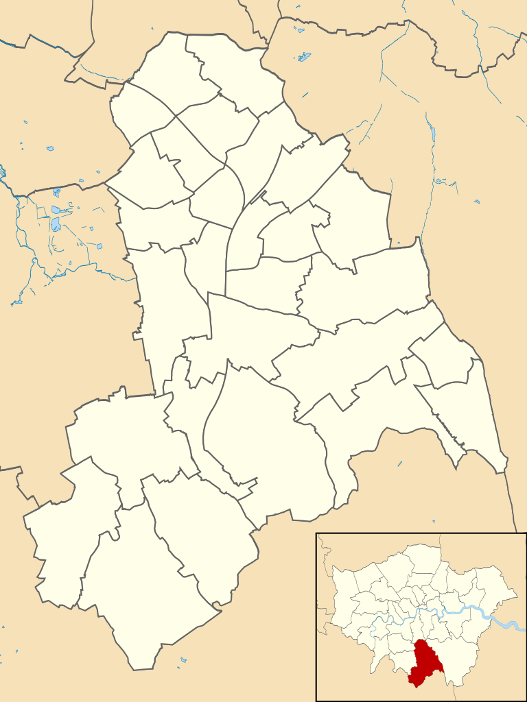
Croydon_2018_Ward_Map.svg

Size of this PNG preview of this SVG file:
450 × 600 pixels
.
Other resolutions:
180 × 240 pixels
|
360 × 480 pixels
|
576 × 768 pixels
|
768 × 1,024 pixels
|
1,537 × 2,048 pixels
|
950 × 1,266 pixels
.
Summary
| Description |
English:
Blank map of the London Borough of Croydon, showing electoral wards.
Equirectangular map projection on WGS 84 datum, with N/S stretched 160% Geographic limits: West: 0.17W East: 0.01E North: 51.43N South: 51.28N |
| Date | |
| Source |
This file was derived from:
Croydon London UK blank ward map.svg
:
|
| Author |
|
Licensing
This file is licensed under the
Creative Commons
Attribution-Share Alike 4.0 International
license.
-
You are free:
- to share – to copy, distribute and transmit the work
- to remix – to adapt the work
-
Under the following conditions:
- attribution – You must give appropriate credit, provide a link to the license, and indicate if changes were made. You may do so in any reasonable manner, but not in any way that suggests the licensor endorses you or your use.
- share alike – If you remix, transform, or build upon the material, you must distribute your contributions under the same or compatible license as the original.