Daci_Terra_Getarum_cf_Strabo.JPG

Size of this preview:
800 × 584 pixels
.
Other resolutions:
320 × 234 pixels
|
640 × 467 pixels
|
1,024 × 748 pixels
|
1,280 × 935 pixels
|
2,600 × 1,899 pixels
.
Summary
| Description | |
| Date | |
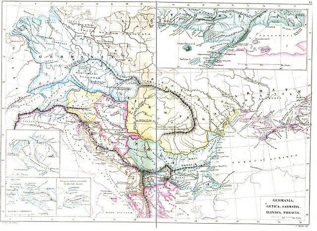
| Source | Strabonis Geographicorum tabulae XV 1877, pp: 1088-1089 by Strabo, Karl Wilhelm Ludwig Müller , editor Ambrosio Firmin-Didot. |
| Author | Karl Wilhelm Ludwig Müller (Carolus Mullerus) (1813–1894) |
Licensing
|
|
This work is in the public domain in its country of origin and other countries and areas where the copyright term is the author's life plus 100 years or fewer . |
| This file has been identified as being free of known restrictions under copyright law, including all related and neighboring rights. | |