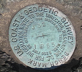
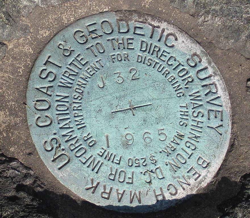
DarienCTUSCoastAndGeodeticSurvey1965Marker11042007.jpg

Size of this preview:
687 × 600 pixels
.
Other resolutions:
275 × 240 pixels
|
550 × 480 pixels
|
880 × 768 pixels
|
1,173 × 1,024 pixels
|
1,290 × 1,126 pixels
.
Summary
| Description |
English:
Marker,
United States Coast and Geodetic Survey
marker embedded in a large rock in front of the Noroton Volunteer Fire Department,
Darien, Connecticut
.
|
| Date | 5 November 2007 (original upload date) |
| Source | Transferred from en.wikipedia to Commons by Oxyman using CommonsHelper . |
| Author | The original uploader was Noroton at English Wikipedia . |
| Camera location |
|
View this and other nearby images on: OpenStreetMap |
|
|---|
Licensing
|
|
This work has been released into the
public domain
by its author,
Noroton
at
English Wikipedia
. This applies worldwide.
In some countries this may not be legally possible; if so: Noroton grants anyone the right to use this work for any purpose , without any conditions, unless such conditions are required by law. |
Original upload log
The original description page was
here
. All following user names refer to en.wikipedia.
- 2007-11-05 02:12 Noroton 1290×1126× (620467 bytes) Marker, [[U.S. National Geodetic Survey]] marker embedded in a large rock in front of the Noroton Fire Department, [[Darien, Connecticut]]