Deutsches_Kaiserreich_1893.jpg

Size of this preview:
758 × 599 pixels
.
Other resolutions:
304 × 240 pixels
|
607 × 480 pixels
|
971 × 768 pixels
|
1,280 × 1,012 pixels
|
2,560 × 2,024 pixels
|
3,049 × 2,411 pixels
.
| Description |
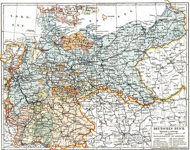
Deutsch:
Das
Deutsche Kaiserreich
English:
The German Empire
|
|||||||||
| Date | ||||||||||
| Source | Meyers Konversationslexikon, 5. Auflage | |||||||||
| Creator |
Unknown author
|
|||||||||
|
Permission
( Reusing this file ) |
old | |||||||||
| Geotemporal data | ||||||||||
| Bounding box |
|
|||||||||
| Georeferencing | ||||||||||
|
|
This image comes from the 5 th edition of Meyers Konversationslexikon (1893-97). The copyrights have expired and this image is in the public domain . |

|
|
|
This work was published before January 1, 1899 and it is anonymous or pseudonymous due to unknown authorship. It is in the
public domain
in the United States as well as countries and areas where the
copyright terms of anonymous or pseudonymous works
are
125 years or fewer since publication
.
|