Dufourspitze_from_east.jpg
Size of this preview:
800 × 595 pixels
.
Other resolutions:
320 × 238 pixels
|
640 × 476 pixels
|
1,024 × 761 pixels
|
1,080 × 803 pixels
.
Summary
| Description |
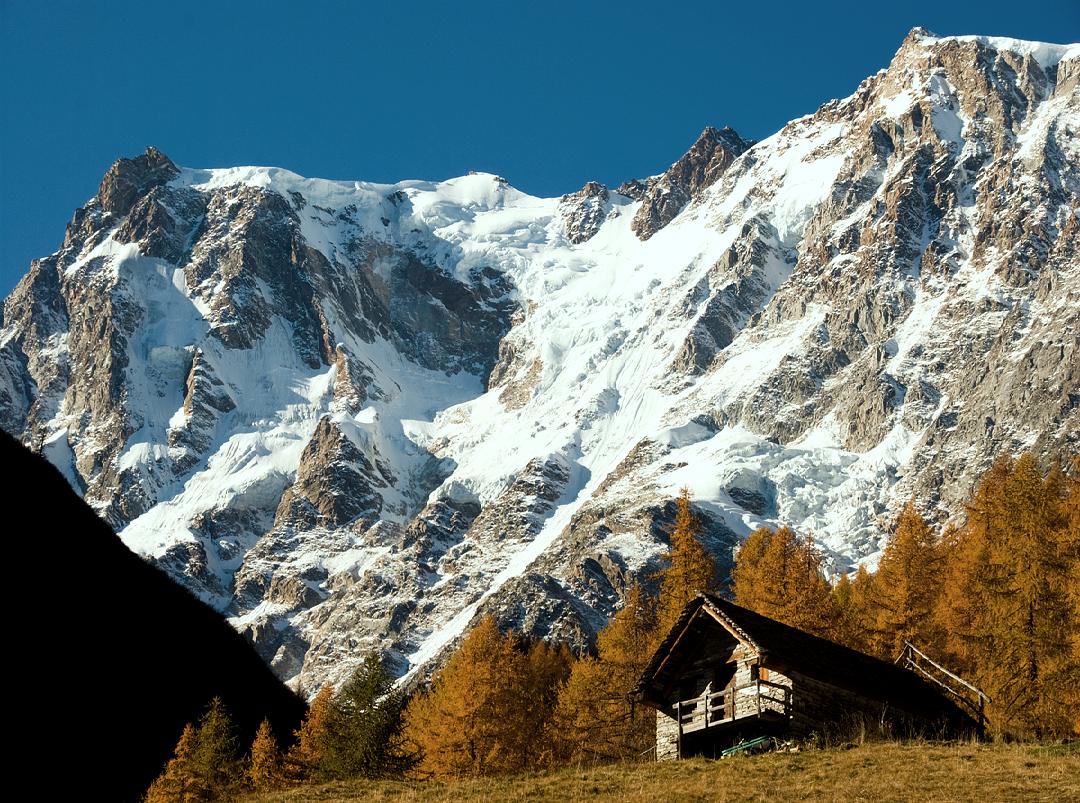
English:
The 2.5 km high eastern wall of the Dufourspitze (4634 metres, 15 200 feet). The true summit lies in the middle right, between the Signalkuppe (4554 metres) on the left and the Nordend (4609 metres) on the right.
|
| Date | |
| Source | Own work |
| Author | Alagna |
Licensing
|
|
I, the copyright holder of this work, release this work into the
public domain
. This applies worldwide.
In some countries this may not be legally possible; if so: I grant anyone the right to use this work for any purpose , without any conditions, unless such conditions are required by law. |
| Annotations | This image is annotated: View the annotations at Commons |