Edinburgh_Calton_Hill.jpg

Size of this preview:
800 × 501 pixels
.
Other resolutions:
320 × 201 pixels
|
640 × 401 pixels
|
1,024 × 642 pixels
|
1,280 × 802 pixels
|
2,560 × 1,604 pixels
|
3,776 × 2,366 pixels
.
Summary
| Description |
English:
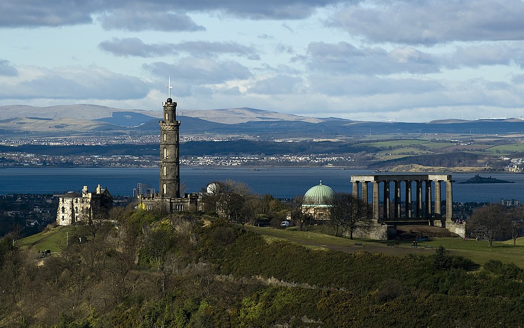
A view of
Calton Hill
from Salisbury Crag. The hill includes: the National Monument (Parthenon replica), the Nelson Monument (tall tower), the Old Observatory House (house on left) and the City Observatory (green dome). The Firth of Forth is the river (or Fjord if you prefer) in the background.
|
| Source | Own work |
| Author | Saffron Blaze |
|
Permission
( Reusing this file ) |
Outside of Wikimedia Foundation projects, attribution is to be made to: Saffron Blaze |
| Other versions |

| Camera location |
|
View this and other nearby images on: OpenStreetMap |
|
|---|
|
|
This image has been assessed using the
Quality image guidelines
and is considered a
Quality image
.
|
Licensing
I, the copyright holder of this work, hereby publish it under the following license:
This file is licensed under the
Creative Commons
Attribution 3.0 Unported
license.
-
You are free:
- to share – to copy, distribute and transmit the work
- to remix – to adapt the work
-
Under the following conditions:
- attribution – You must give appropriate credit, provide a link to the license, and indicate if changes were made. You may do so in any reasonable manner, but not in any way that suggests the licensor endorses you or your use.
| Annotations | This image is annotated: View the annotations at Commons |