England_south_location_map.svg

Size of this PNG preview of this SVG file:
800 × 485 pixels
.
Other resolutions:
320 × 194 pixels
|
640 × 388 pixels
|
1,024 × 621 pixels
|
1,280 × 776 pixels
|
2,560 × 1,553 pixels
|
816 × 495 pixels
.
Summary
| Description |
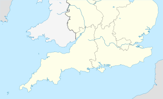
English:
Map of Southern England (also showing portions of Wales, Ireland and France)
Equirectangular projection, N/S stretching 170 %. Geographic limits of the map:
|
| Date | |
| Source | File:England location map.svg |
| Author | NordNordWest |
|
|
This is a
retouched picture
, which means that it has been digitally altered from its original version. The original can be viewed here:
England location map.svg
:
|
Licensing
This file is licensed under the
Creative Commons
Attribution-Share Alike 3.0 Unported
license.
-
You are free:
- to share – to copy, distribute and transmit the work
- to remix – to adapt the work
-
Under the following conditions:
- attribution – You must give appropriate credit, provide a link to the license, and indicate if changes were made. You may do so in any reasonable manner, but not in any way that suggests the licensor endorses you or your use.
- share alike – If you remix, transform, or build upon the material, you must distribute your contributions under the same or compatible license as the original.