Europe,_1700—1714.png

Size of this preview:
800 × 546 pixels
.
Other resolutions:
320 × 219 pixels
|
640 × 437 pixels
|
1,024 × 699 pixels
|
1,280 × 874 pixels
|
1,590 × 1,086 pixels
.

|
This
map of europe
image could be re-created
using
vector graphics
as an
SVG
file
. This has several advantages; see
Commons:Media for cleanup
for more information. If an SVG form of this image is available, please upload it and afterwards replace this template with
{{

vector version available

|

new image name

}}
.
It is recommended to name the SVG file “Europe, 1700—1714.svg”—then the template Vector version available (or Vva ) does not need the new image name parameter. |
Summary
| Description |
English:
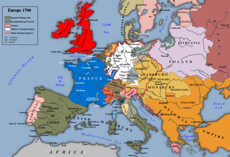
Map of Europe 1700.
|
| Date | |
| Source |
Own work based on: an image in Trevelyan, George Macaulay (1930) England Under Queen Anne , I, London : Longmans, Green and Co.
|
| Author | Rebel Redcoat |
| Other versions |
.png)
Licensing
|
|
I, the copyright holder of this work, release this work into the
public domain
. This applies worldwide.
In some countries this may not be legally possible; if so: I grant anyone the right to use this work for any purpose , without any conditions, unless such conditions are required by law. |