Europe-Isle_of_Man.svg

Size of this PNG preview of this SVG file:
713 × 600 pixels
.
Other resolutions:
285 × 240 pixels
|
571 × 480 pixels
|
913 × 768 pixels
|
1,218 × 1,024 pixels
|
2,435 × 2,048 pixels
|
2,045 × 1,720 pixels
.
Summary
| Description |
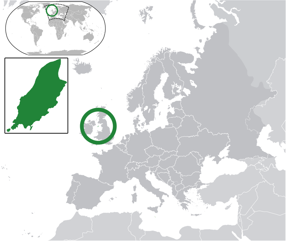
English:
Map in English of the
Isle of Man
, with bounds of sheadings, towns, villages, districts and parishes.
(Green)
Isle of Man
.
(Gray)
Europe
.
(Light-gray)
The surrounding region.
The Full Map of the Isle of Man
|
||
| Date | |||
| Source | Own work based on: IsleOfMan SheadingsAndParishes-en.svg | ||
| Author | Chipmunkdavis | ||
|
Permission
( Reusing this file ) |
This file is licensed under the
Creative Commons
Attribution-Share Alike 3.0 Unported
license.
|
||
| SVG development |
|
Original upload log
This image is a derivative work of the following images:
-
licensed with Cc-by-sa-3.0
- 2011-02-21T07:49:57Z Chipmunkdavis 2045x1720 (2394864 Bytes)
-
IsleOfMan SheadingsAndParishes-en.svg
licensed with Cc-by-sa-3.0,2.5,2.0,1.0, GFDL
- 2008-01-17T12:48:28Z Sémhur 1200x1100 (227618 Bytes) Update
- 2007-05-29T20:36:04Z Sémhur 0x0 (364350 Bytes) {{Information |Description=Map in English of the [[:en:Isle of Man|Isle of Man]], with bounds of sheadings, towns, villages, districts and parishes. |Source=Own work. Based on maps [[:Image:Isle of Man map-fr.svg]], [[:Image:
Uploaded with derivativeFX