Fermilab_satellite.gif

Size of this preview:
709 × 600 pixels
.
Other resolutions:
284 × 240 pixels
|
568 × 480 pixels
|
759 × 642 pixels
.
Summary
| Description |
English:
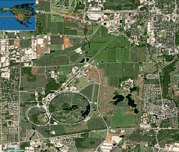
Satellite image of
Fermi National Accelerator Laboratory
, Batavia near Chicago, Illinois
|
| Source | U.S. Geological Survey |
| Author | U.S. Geological Survey |
| Camera location |
|
View this and other nearby images on: OpenStreetMap |
|
|---|
Licensing
|
|
This image is in the
public domain
in the United States because it only contains materials that originally came from the
United States Geological Survey
, an agency of the
United States Department of the Interior
. For more information, see
the official USGS copyright policy
.
|
|