Field-Map_birdie.jpg
Size of this preview:
561 × 599 pixels
.
Other resolutions:
225 × 240 pixels
|
449 × 480 pixels
|
719 × 768 pixels
|
959 × 1,024 pixels
|
1,918 × 2,048 pixels
|
2,592 × 2,768 pixels
.
Summary
| Description |
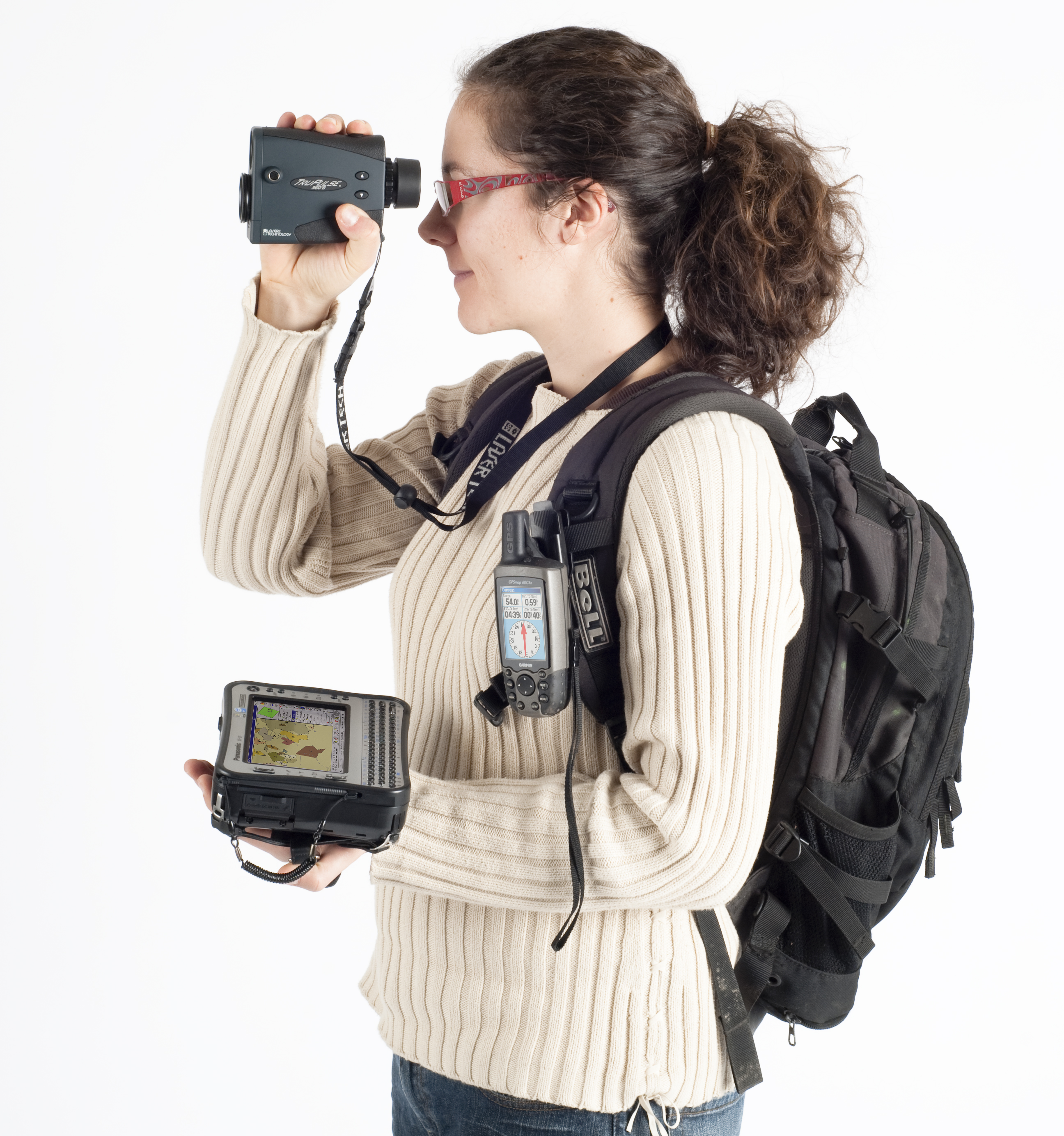
Français :
Field-Map
: Exemple de la technologie pour les inventaires forestiers (
laser télémètre
,
inclinomètre
, boussole électronique,
GPS
, ordinateur de terrain)
English:
Field-Map
: Example of hardware equipment for forest inventories: GPS and laser rangefinder for mapping connected to a field rugged computer.
Čeština:
Field-Map
: Technologie pro inventarizace lesů a lesní taxaci (laserový dálkoměr, GPS, terénní počítač).
|
| Date | 3. 7. 2010 |
| Source | Own work |
| Author | Claudiusmm |
Licensing
|
|
I, the copyright holder of this work, release this work into the
public domain
. This applies worldwide.
In some countries this may not be legally possible; if so: I grant anyone the right to use this work for any purpose , without any conditions, unless such conditions are required by law. |