Fietsstrook_Herenweg_Oudorp.jpg

Size of this preview:
800 × 489 pixels
.
Other resolutions:
320 × 196 pixels
|
640 × 391 pixels
|
1,024 × 626 pixels
|
1,280 × 782 pixels
|
2,560 × 1,564 pixels
|
4,566 × 2,790 pixels
.
Summary
| Description |
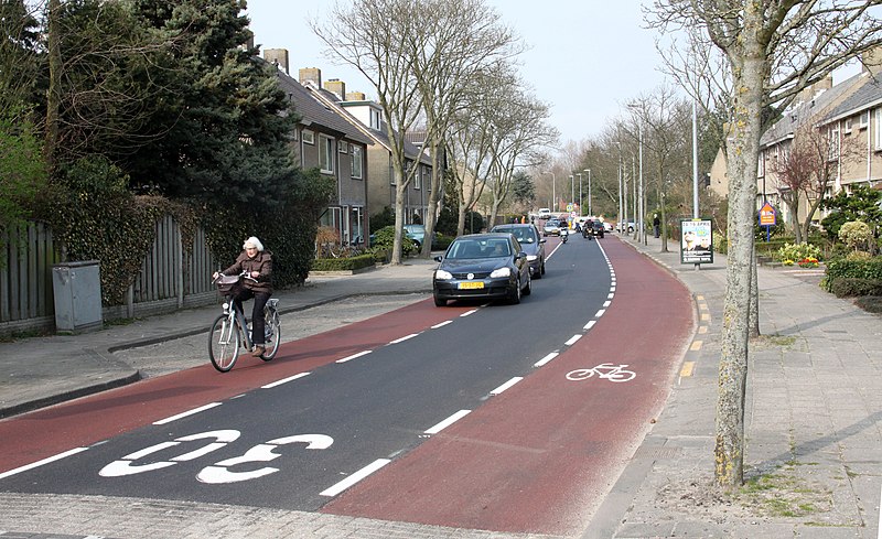
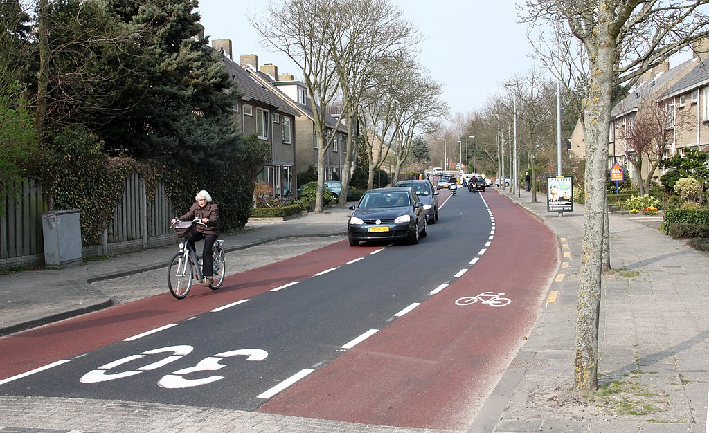
Nederlands:
Fietsstroken in Oudorp.
English:
Cycle lanes in Oudorp.
|
| Date | |
| Source | Own work |
| Author | Maurits90 |
|
Permission
( Reusing this file ) |
Vrij te gebruiken |
| Camera location |
|
View this and other nearby images on: OpenStreetMap |
|
|---|
Licensing
I, the copyright holder of this work, hereby publish it under the following license:
|
|
This file is made available under the Creative Commons CC0 1.0 Universal Public Domain Dedication . |
|
The person who associated a work with this deed has dedicated the work to the
public domain
by waiving all of their rights to the work worldwide under copyright law, including all related and neighboring rights, to the extent allowed by law. You can copy, modify, distribute and perform the work, even for commercial purposes, all without asking permission.
|