Frankfurt_Am_Main-Stadtansicht_von_der_Deutschherrnbruecke_zu_Beginn_der_Abenddaemmerung.jpg
Size of this preview:
800 × 533 pixels
.
Other resolutions:
320 × 213 pixels
|
640 × 427 pixels
|
1,024 × 683 pixels
|
1,280 × 853 pixels
|
2,560 × 1,707 pixels
|
4,500 × 3,000 pixels
.
Summary
| Description |
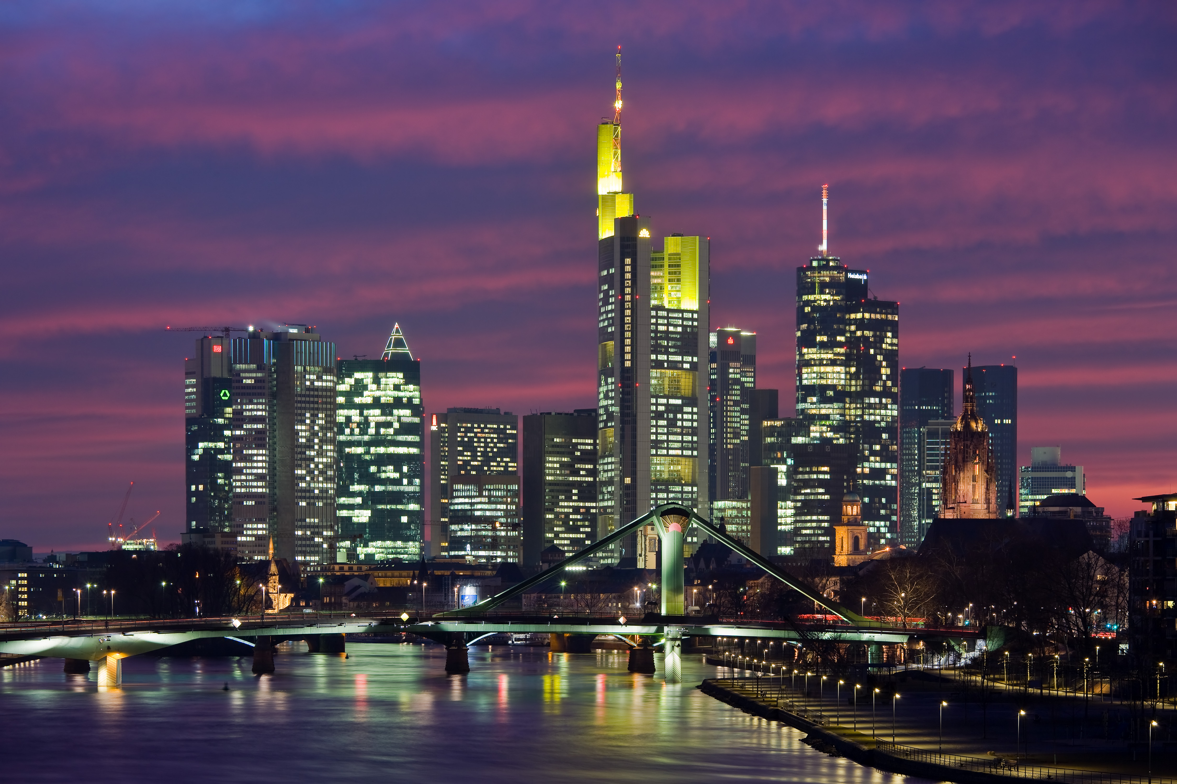
Deutsch:
Frankfurt am Main: Stadtansicht von der
Deutschherrnbrücke
zu Beginn der Abenddämmerung
English:
Frankfurt on the Main: View of the city as seen from the
Deutschherrnbruecke
(Teutonic Knights Bridge) at dusk
Français :
vue de la ville de
Francfort-sur-le-Main
, prise depuis le
Deutschherrnbruecke
(trad « Pont des Chevaliers Teutoniques ») au coucher du soleil.
Nederlands:
Frankfurt Am Main: Zicht op de stad vanaf de
Deutschherrnbruecke
|
| Date | |
| Source | Own work |
| Author | Mylius |
| Other versions |
.jpg)
|

| Camera location |
|
View this and other nearby images on: OpenStreetMap |
|
|---|
Licensing
|
English:
I,
Roland Meinecke
(
Roland Meinecke
) am the creator of this work and I hereby publish it under the licences detailed below.
You may use this work free of charge under two conditions: Naming the image's author and inheritance of the chosen license. If you want to learn more details about the usage of this work, please visit my userpage .
Deutsch:
Ich,
Roland Meinecke
(
Roland Meinecke
) bin der Autor dieses Bildwerkes, und ich veröffentliche es hiermit unter den unten beschriebenen Lizenzen.
Sie dürfen dieses Bild unter folgenden Bedingungen kostenlos nutzen: Namensangabe des Bildautors und Weitervererbung der gewählten Lizenz. Bitte schauen Sie auf meine Benutzerseite , wenn Sie Einzelheiten über die Nutzung dieses Bildwerkes erfahren wollen. |
||||||||||
|
