Fresno-Madera_CSA.png
No higher resolution available.
| Description |
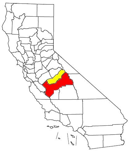
Locator map of the Fresno-Madera Combined Statistical Area in the central part of the U.S. state of California . The two components of the CSA are colored separately: |
||
| Date | |||
| Source |
Modified from this United States Census Bureau file, based on the following Census definitions lists: |
||
| Author | User:Nyttend | ||
|
Permission
( Reusing this file ) |
US Government work is public domain, and my work is
|