German_east_africa_map.png
Size of this preview:
600 × 600 pixels
.
Other resolutions:
240 × 240 pixels
|
480 × 480 pixels
|
768 × 768 pixels
|
1,024 × 1,024 pixels
|
2,000 × 2,000 pixels
.
Summary
| Description |
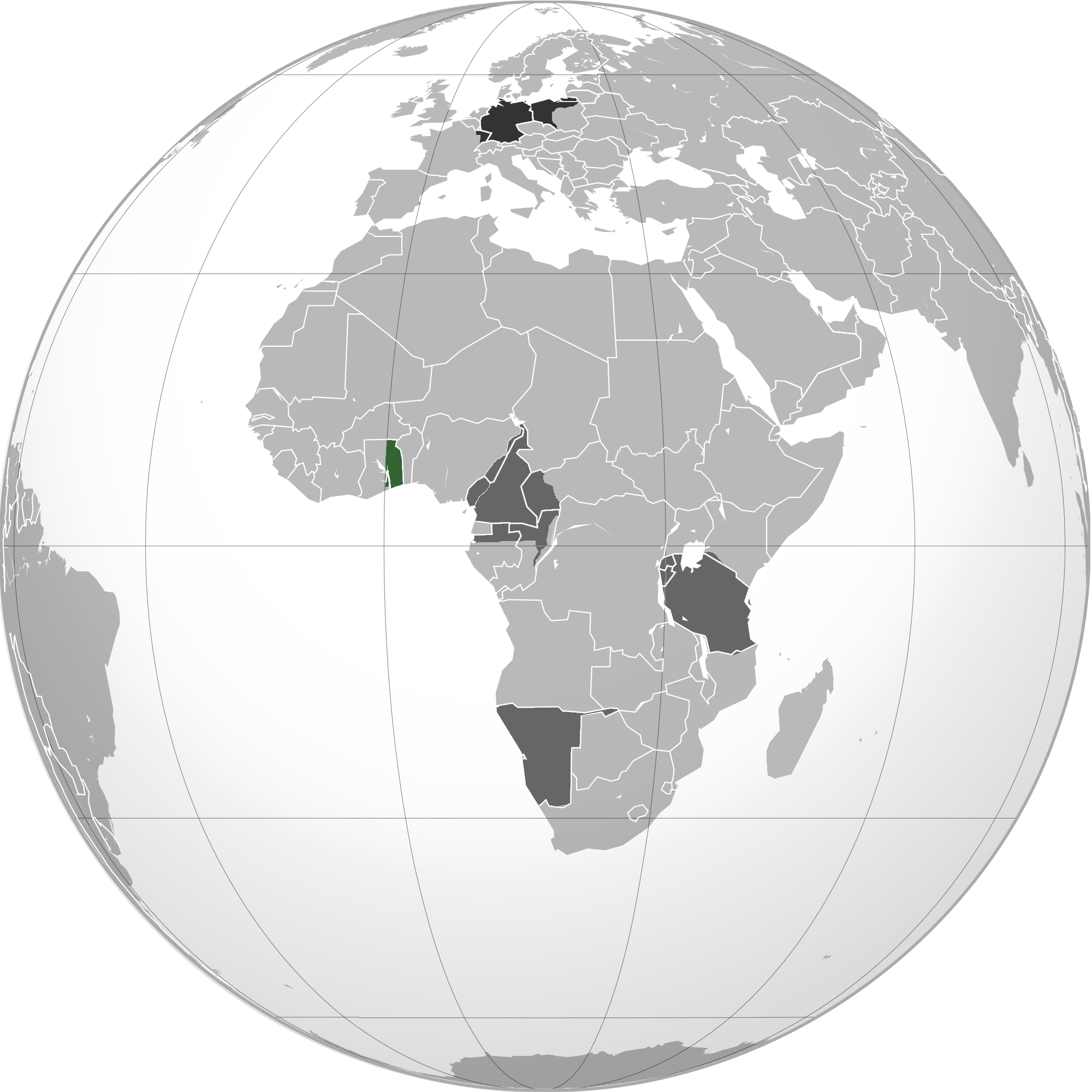
English:
Green
: Territory comprising German colony of German East Africa
Dark gray : Other German possessions Darkest gray : German Empire Note : The map uses the borders of the present-day, but the historical extent for German territories are depicted. |
| Date | 2 June 2010 (original upload date) |
| Source | Own work by the original uploader |
| Author | User:VoodooIsland |
Licensing
|
|
This work has been released into the
public domain
by its author,
VoodooIsland
. This applies worldwide.
In some countries this may not be legally possible; if so:
|
Original upload log
Transferred from en.wikipedia to Commons using For the Common Good .
The original description page was
here
. All following user names refer to en.wikipedia.
| Date/Time | Dimensions | User | Comment |
|---|---|---|---|
| 20:43, 2 June 2010 | 2,000 × 2,000 (609,979 bytes) | w:en:VoodooIsland ( talk | contribs ) | '''Green''': Territory comprising German colony of German East Africa<br>'''Dark gray''': Other [[German colonial empire|German possessions]]<br>'''Darkest gray''': [[German Empire]] '''Note''': The map uses the borders of the present-day, but the histor |