Getae_Region.svg

Size of this PNG preview of this SVG file:
738 × 599 pixels
.
Other resolutions:
296 × 240 pixels
|
591 × 480 pixels
|
946 × 768 pixels
|
1,261 × 1,024 pixels
|
2,522 × 2,048 pixels
|
1,341 × 1,089 pixels
.
Summary
| Description |
English:
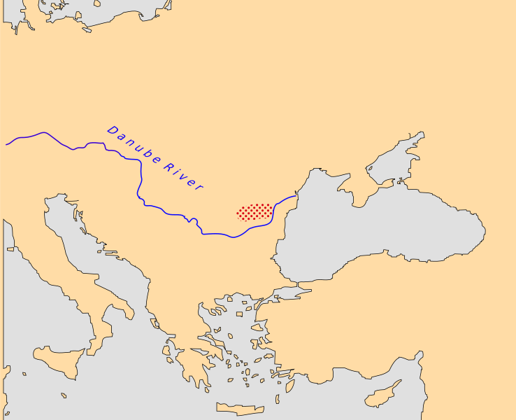
General area of land occupied by the Getae in approximately 100 CE. Map based on information from
http://www.euratlas.net/history/europe/100/entity_8877.html
|
| Date | |
| Source | Own work based on File:Europe Map.svg , which itself, however, has no source information |
| Author | KDS4444 |
Licensing
I, the copyright holder of this work, hereby publish it under the following license:
|
|
This file is made available under the Creative Commons CC0 1.0 Universal Public Domain Dedication . |
|
The person who associated a work with this deed has dedicated the work to the
public domain
by waiving all of their rights to the work worldwide under copyright law, including all related and neighboring rights, to the extent allowed by law. You can copy, modify, distribute and perform the work, even for commercial purposes, all without asking permission.
|