Han_Dynasty_map_2CE.png
No higher resolution available.
Summary
| Description |
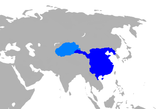
English:
Map of
Han Dynasty
in 2 CE.
|
||
| Date | |||
| Source |
Own work using:
|
||
| Author | User:Historian of the arab people | ||
| Other versions |
|

Licensing
|
|
I, the copyright holder of this work, release this work into the
public domain
. This applies worldwide.
In some countries this may not be legally possible; if so: I grant anyone the right to use this work for any purpose , without any conditions, unless such conditions are required by law. |